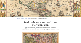
More than 2900 digitized maps from the most magnificent atlases of the Zentralbibliothek Zürich archives are waiting to be geographically located by those interested. Often ornately decorated maps from 15th-17th century splendor atlases were selecte...
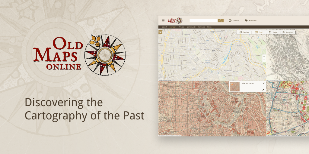
Compare and overlay maps with each other! In the new version released in December 2022, we integrated the Compare tool into the www.oldmapsonline.org search engine. Now you can easily study the evolution of a plac...
A new crowdsourcing project of Utrecht University Library! A total of 847 maps from “Atlas Maior” and “Toonneel der Steden” by Joan Blaeu have been added to Georeferencer application and are ready for georeferencing. The Atlas Maior is the final ve...
Following the successful completion of Zentralbibliothek Zürich’s georeferencer pilot “Durch Raum und Zeit”, maps from the ZB georeferenced collections have been added to the OldMapsOnline...
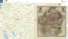
New Georeferencer crowdsourcing pilot has been released for Zentralbibliothek Zürich. More than 2500 digitized old Zürich and Swiss maps from the Maps and Panoramas Department of Zurich’s central library are waiting to be georeferenced. Help to loca...
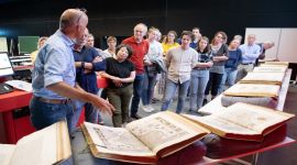
The Moravian Library in Brno, Czech Republic announces the results of the successful georeferencing contest, which was launched this year on the Staremapy.cz portal.
The crowdsourcing online event ran f...

We are continuously and constantly enlarging the number of maps in our search engine database OldMapsOnline.org. We have recently added new historical maps and you can now search and explore maps from Utrecht University Library collections, Leiden ...
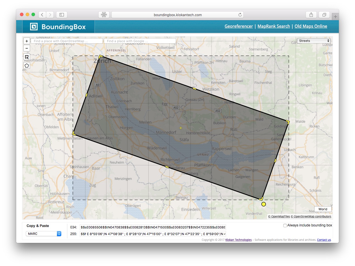
We have modernised our Bounding Box tool and added new features!
The tool is freely available at http://boundingbox.klokantech.com and allows visual selection of geographic coordinates of an ar...
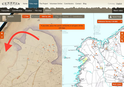
Some of the historical maps are unfortunately not north-oriented. To turn the map while georeferencing will save time and help to find the depicted places.
In the new user interface, it is possible to rotate the map while holding Alt+Shift.<...
Tithe Maps are interesting source of historical information from 19th century in the United Kingdom.
During our project, we came to a new challenge: Each map was accompanied by a schedule listing each map item by number. Next to it, we neede...