Now the website has been live and accessible to the public for just over two weeks and the initial flurry of publicity is over we have a little time to pause and reflect on how the launch has gone.
We began with the special workshop "Working Digitally with Historical Maps" organised as part of the Association of American Geographers conference. It was held on the 25th February in the impressive Stephen A. Schwarzman Building the flagship building of the New York Public Library. The key note speech at that event announcing the website was jointly given by David Rumsey, Petr Pridal and Humphrey Southall.
The following Wednesday (29th) saw the main UK launch in the grand art deco surroundings of Chancellor's hall in Senate House, part of the University of London. The Gerald Alymer Seminar "Locating the Past" attracted 100 participants and saw a range of speakers talking about historical place and space from what we can learn spatially from paintings depicting Henry VIII's maritime battles, crowd-sourcing modern locations onto historical maps, linking places and surnames and mapping historical textual descriptions of places. The introduction to the day, including the announcement about the website launch, was given by Humphrey Southall whilst Paula gave demonstrations of the site in action throughout the day.
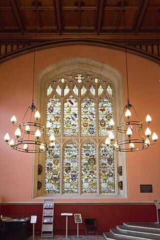
Wednesday last week (7th) saw Humphrey Southall again presenting and Paula demonstrating the site. This time in the equally appealing Weston room with its nineteenth century floor mosaic and stained glass windows in the Maughan Library at Kings College, London. The event involved a smaller, more specialised audience who work on bringing together geographical and historical data online discussed geocultures. Organised by the JISC-funded GECO project, "Geospatial" in the Cultural Heritage Domain, Past, Present & Future covered subjects as diverse as locating photos of London during the Blitz, charting information gleaned from historical ships logs, to ways of presenting historical Scottish city information through maps.
 | ||
|
We will continue to demonstrate the website at upcoming events we are attending. Initial audience figures are good, by the 13th of March we had received nearly 150,000 unique users since we launched. This averages out at roughly 8,000 users per day, although our busiest day last week saw more than 30,000 unique users and over 10% of visitors returned.
We have had a reasonable amount of online press coverage and the site even appeared on Spanish TV. Although our press coverage has had less success in more traditional outlets we still feel relatively pleased with how well the message seems to be getting around. Something that is new to us, but has proved invaluable is the organic spread of knowledge about the site through social media. Twitter in particular has seen some very good comments and people around the world are still passing the site on this way.
Of course, like any new website which catches the public's attention, and as already mentioned in a previous posting, we have experienced some technical issues and in hindsight we perhaps should have left out the dynamic links to social media which caused most of them. The inclusion of a feedback feature and contact details seems to be positive move and has led to suggestions on what else people might like to see and offers to participate from more map collections and user testers.
Overall we are very pleased with the reaction to the launch of the site and we're now settling down to work hard on the next release.