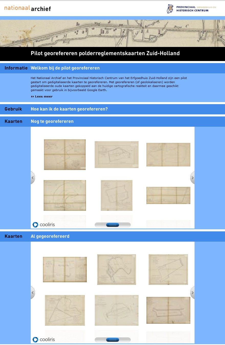
Klokan Technologies prepared Georeferencer application for Nationaal Archief (NA) in the Hague in May 2011. Thanks to Georeferencer, 650 maps were scanned and made available online in less than one month.
Volunteers made their contributions to the project from their homes.
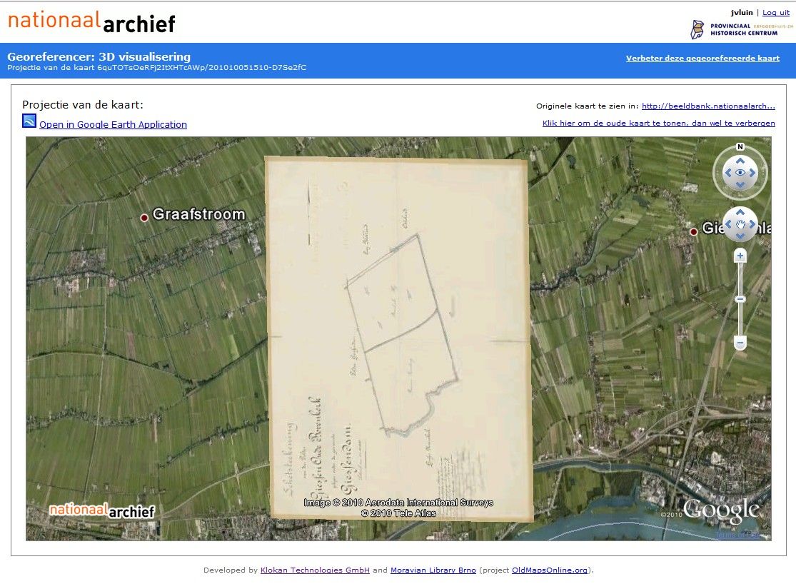
Georeferencer is an online tool service which was adapted to Archief's needs and made public-friendly. This service allows rapid collaborative georeferencing, annotation, 3D visualisation and accuracy analysis of scanned online maps. Online maps are analyzed directly in a web browser environment. You do not need to install any other software on your computer.
In cooperation with people from NA a pilot was set up to gain experience with the use of ten volunteers through a crowdsourcing tool. After the demonstration of the tool volunteers were all excited about the simplicity of the tool and the possibilities of georeferenced maps, especially after showing the transparency slider in Google Earth and MapRankSearch. There was also a competition and prize for the winner.
For more information about this project, please visit: https://www.archief20.org/profiles/blogs/pilot-georefereren