Maps of Grand Est
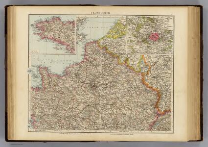
France N.
1 : 1750000 Andree, Richard; Times (London, England)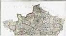
Carte de la France suivant sa nouvelle division en departements et disricts, 1
2 Blätter : 64 x 117 cm s.n.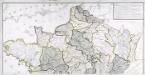
Carte générale des fleuves, des rivieres, et des principaux ruisseaux de la France, 1
1 Blatt : chez l'auteur Dupain-Triel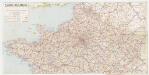
[Kaart], uit: Carte routière / dressée et dessinée par Foldex
1 : 1000000 titelvariant: Carte routière de la France; Annotatie: Omslagtitel: Carte routière de la France : section Nord Foldex, Parijs Paris : Foldex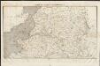
Carte de la France septentrionale
1 : 1000000 Collon delin. lith. de Jobard Frères [Bruxelles] : Jobard Frères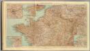
32-34. Francia nord.
1 : 1500000 Touring club italiano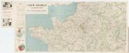
Carte Michelin 98: France - Nord, uit: Carte Michelin au 1:1.000.000e (1 cm = 10 km) : les grandes routes de France
1 : 1000000 Clermont-Ferrand : Michelin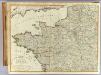
N.W. France.
1 : 1000000 Robert Laurie & James Whittle
France Canaux
Vidal de La Blache, Paul
France Canaux
Vidal de La Blache, Paul
Map of the Seat of War in France.
1 : 2600000 Carey, Mathew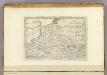
Map of the Seat of War in France, with the Country divided into its Several Departments.
1 : 2700000 Carey, Mathew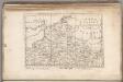
Map of the Seat of War in France, with the Country divided into its Several Departments.
1 : 2700000 Carey, Mathew
43 Sheet A, uit: France (North West), Belgium (West and Central), Holland (part of) ; France (South West), Spain (North)
1 : 1000000 [London : MI9]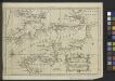
A Chart of the English Channel with the adjacent coasts of England and France.
from Atlantic Ocean
Cartes et coupe du Canal de la Manche et d'une partie de la mer d'Allemagne qui présentent par une nouvelle méthode la pente du fonds de ces deux mers
1 Karte : Kupferdruck ; 16 x 23 cm, Blattgrösse 46 x 61 cm Buache Philippe Buache
La Manche.
1 : 4300000 Desmarest, Nicolas, 1725-1815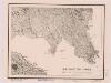
Northwestern France
1 : 2350000 Relief shown by shading. "Base map No. 2995 (free)." "January 14, 1944." Oriented with north to the bottom. United States. Office of Strategic Services. Research and Analysis Branch [Washington, D.C.] : R & A, OSS
67-68. North-East France, Belgium, Luxemburg. The World Atlas.
1 : 1250000 USSR (Union of Soviet Socialist Republics).
Karten des französisch-belgischen Kriegsschaplatzes
1 : 1000000 Belgie Velhagen & Klasing
France Régionale Bassin de Paris Région du Nord carte physique
Gallois, Lucien
Bourgondische landen
1 : 1000000 Oirschot, P.E. van Groningen : Wolters
La Manche, ou le Canal, entre la France et l'Angleterre
1 Karte : Kupferdruck ; 49 x 59 cm Jaillot; Goere H. Jaillot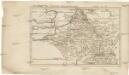
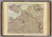
Belgica oder Nieder Teutschland
Belgie Baumgarten, Siegmund Jakob Johann Justinus Gebauer
France I.
1 : 1800000 Society for the Diffusion of Useful Knowledge (Great Britain)
La Manche
1 Karte : Kupferdruck ; 50 x 61 cm Jefferys; Le Rouge chez Le Rouge géographe du roi rue des g.ds Augustins
La Manche
1 Karte : Kupferdruck ; 50 x 61 cm Jefferys; Le Rouge chez Le Rouge géographe du roi rue des g.ds Augustins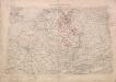
Territory in Western Germany occupied by the Allied Armies
1 : 1000000 First World War map of the territory in Western Germany occupied by the Allied Armies and the stages of evacuation according to article 429 of the peace treaty. Situation for July 1921. War Office
Canalis inter Angliæ et Galliæ littora
1 Karte : Kupferdruck ; 48 x 55 cm Renard gedruckt by L. Renard