Gecatalogiseerde kaart
Cartes et coupe du Canal de la Manche et d'une partie de la mer d'Allemagne qui présentent par une nouvelle méthode la pente du fonds de ces deux mers


Volledige titel:Cartes et coupe du Canal de la Manche et d'une partie de la mer d'Allemagne qui présentent par une nouvelle méthode la pente du fonds de ces deux mers
Jaar illustratie:1770 - 1771
Uitgever:Philippe Buache
Fysieke grootte:20 x 30 cm
n/a
1742
n/a
1742
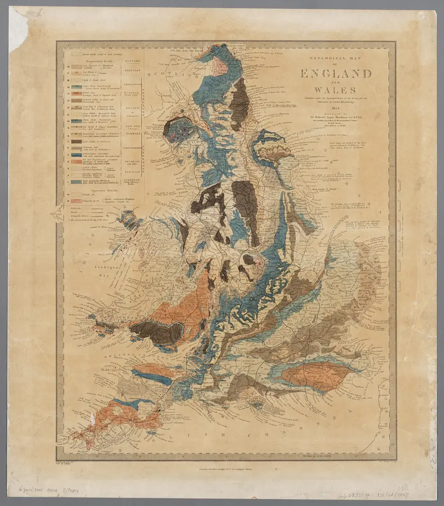
Geological map of England and Wales / publ. under the superintendence of the Society for the Diffusion of Useful Knowledge ; arr. by Roderick Impey Murchison ; S.P. Woodward del.; cold. by T. Malby; J. & C. Walker sculpt
1847
Roderick Impey Murchison 1792-1871; S.P. Woodward; T. Malby; Society for the Diffusion of Useful Knowledge
1:2m
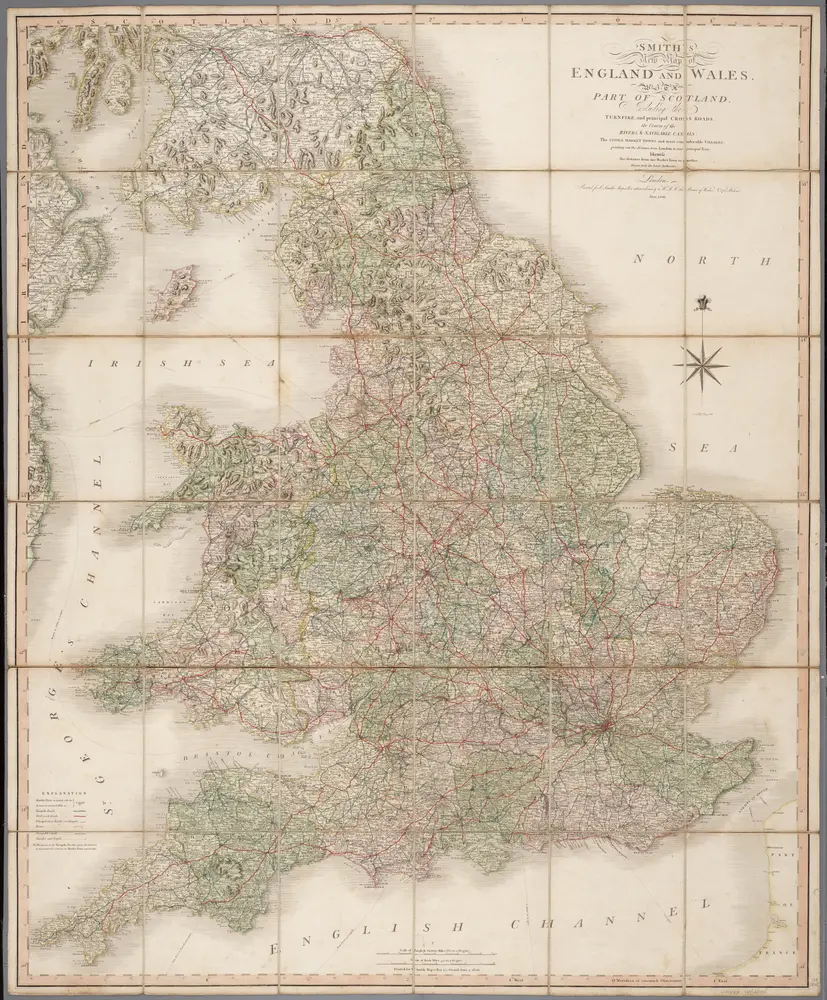
Smith's new map of England and Wales with parts of Scotland : including the turnpike, and principal crossroads ... / engraved by Edw[ar]d Jones & Benj[ami]n Smith
1806
Jones, Edward (fl. 1806); Smith, Benjamin
1:1m
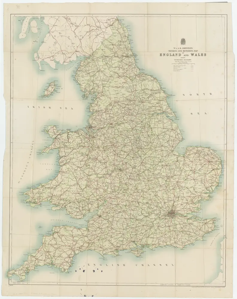
[Kaart], uit: W. & A. K. Johnston's touring and motoring map of England and Wales : showing the main roads, and railways
1930
Edinburgh [etc.] : Johnston
1:634k
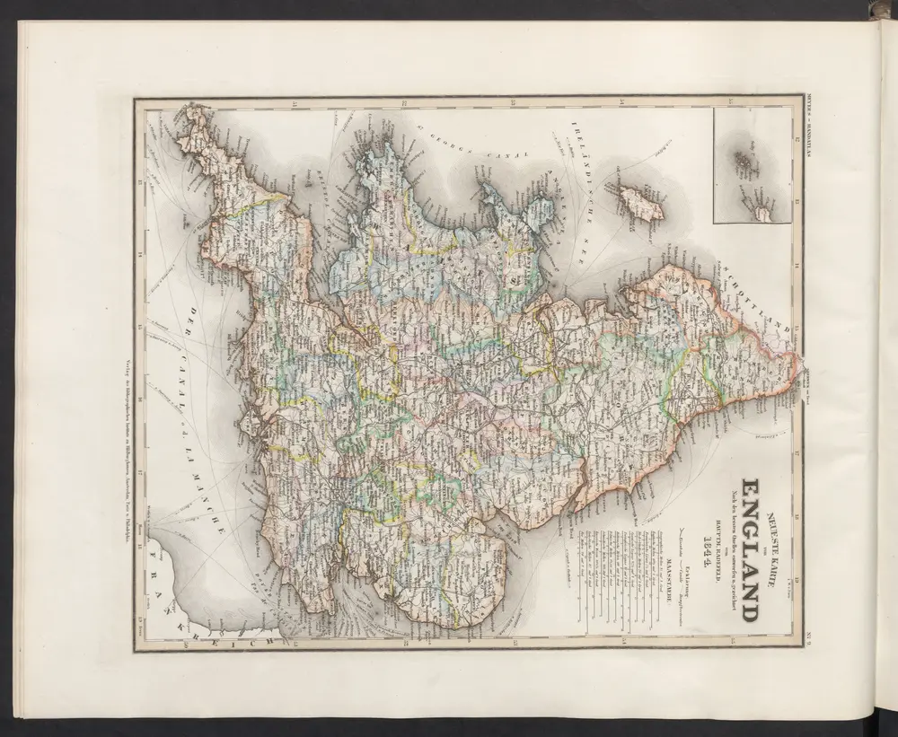
Neueste Karte von England
1860
Meyer, J.
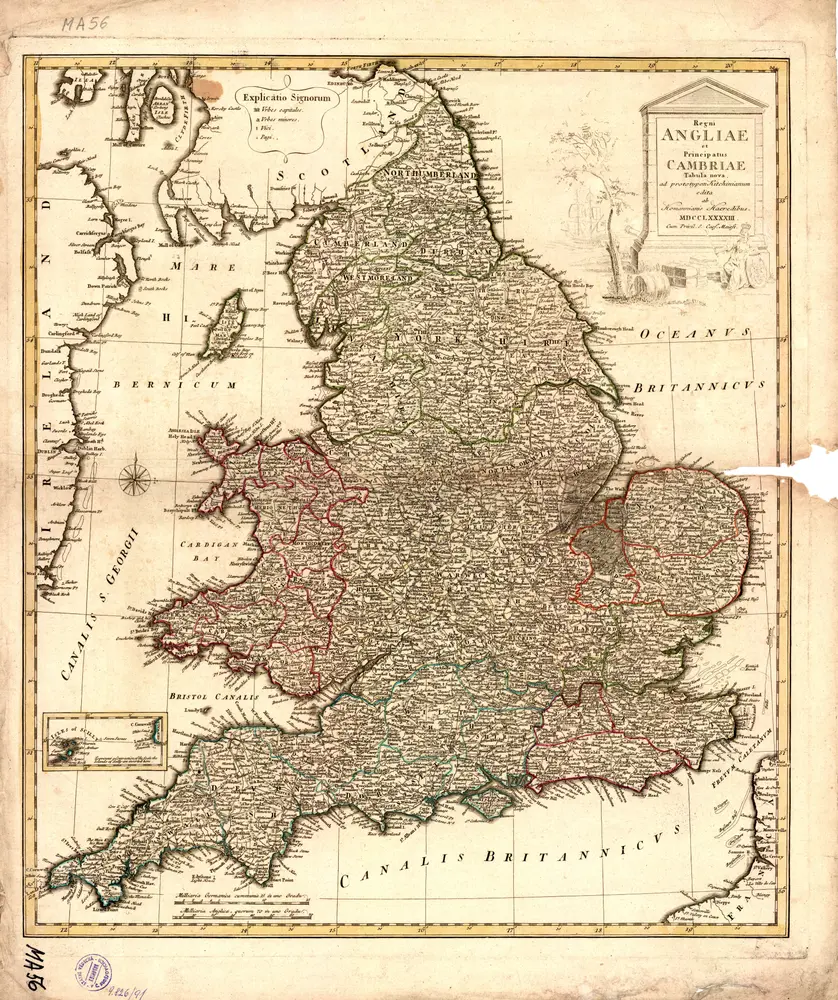
Regni Angliae et Principatus Cambriae tabula nova
1793
Homann Erben
[Recto], uit: England and Wales
1900
[London] : Philip [etc.]
1:1m
An accurate map of England and Wales with the principal roads from the best authorities
1796
1:1
n/a
1858