Maps of South West England
England, south.
1 : 980000 Lizars, Daniel
Postkarte von Süd England
Anglie jižní Ponheimer, Kilian im von Reillyschen Landkarten und Kunstwerke Verschleiss Komptoir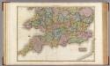
England, southern part.
1 : 755000 Pinkerton, John, 1758-1826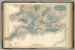
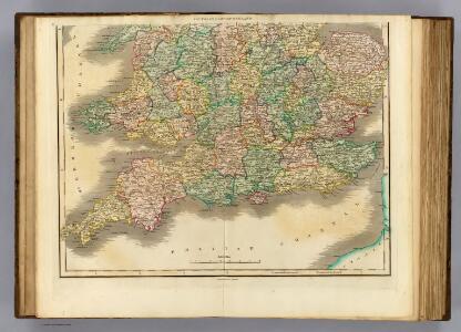
England and Wales.
1 : 900000 Hughes, William
England and Wales Railway Map (southern half).
1 : 1110000 Sharpe, J.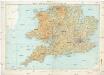
Ten mile map of Great Britain
1 : 633600 Velká Británie Ordnance Survey Office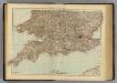
England, Wales S.
1 : 1000000 Andree, Richard; Times (London, England)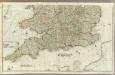
England and Wales (Southern section)
1 : 675000 Rocque, John
A new and accurate map of all the direct & principal cross roads in England and Wales
Anglie
Grossbritannien Südlicher Theil
Adolf Stieler's Handatlas über alle Theile der Erde und über das Weltgebäude Stieler, Adolf Justus Perthes
Road map of Great Britain
1 : 633600 Birmingham (Anglie) Ordnance Survey Office
[Grossbritannien, Südliches Blatt]
Handatlas über alle Theile der Erde und über das Weltgebäude Stieler, Adolf Justus Perthes
Grossbritannien. Sudliches Blatt: England U. Wales.
1 : 1500000 Petermann, A.
Carte de l'Angleterre au tems de la decente des romains
1 Karte : Kupferdruck ; 24 x 22 cm s.n.
[Grossbritannien, Südliches Blatt]
Hand-Atlas über alle Theile der Erde und über das Weltgebäude Stieler, Adolf Justus Perthes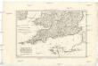
Royaume d'Angleterre
1 : 1950000 Anglie jižní Bonne, Rigobert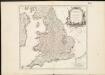
Le Royaume d'Angleterre , divisé selon les sept Royaumes, ou Heptarchie des Saxons, avec la Principauté de Galles, et subdivisé en shires ou comtés
1 : 1400000
Galliæ antiquæ descriptio geographica, 1
1 Blatt : 44 x 57 cm s.n.
Grossbritannien im maassstabe von 1:1.500.000 : sudliches Blatt : England (ohne die nordl. Grafschaften) u. Wales
1 : 1500000 Petermann, August Heinrich 1822-1878 Gotha : Justus Perthes
Airfields, UK
Great Britain. War Office. General Staff. Geographical Section
An accurate map of England and Wales with the principal roads from the best authorities
1 : 1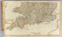
(England, Wales, south)
1 : 575000 Kitchin, Thomas; Phillips, J.; Robert Laurie & James Whittle
Restricted Flying Areas and Balloon Areas, Air Ministry, GSGS Misc 501
Great Britain War Office General Staff Geographical Section Great Britain Ministry of Defence Survey Production Centre
Parte meridionale dell' Inghilterra, e del principato di Galles
1 Karte : Kupferdruck ; 29 x 40 cm Zatta; Zuliani; Pitteri presso Antonio Zatta
Anglesey; Wight Vectis olim ; Garnesay ; Iarsay
1 : 1
Reisekarte von England
England and Wales (southern sheet).
1 : 887000 Johnston, Alexander Keith
England and Wales (southern sheet).
1 : 887000 Johnston, W. & A.K.
England and Wales.
1 : 1420000 Hammond, C.S.