Maps of England

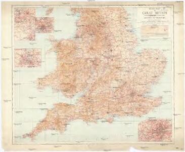
Road map of Great Britain
1 : 633600 Birmingham (Anglie) Ordnance Survey Office
Airfields, UK
Great Britain. War Office. General Staff. Geographical Section
Restricted Flying Areas and Balloon Areas, Air Ministry, GSGS Misc 501
Great Britain War Office General Staff Geographical Section Great Britain Ministry of Defence Survey Production Centre
Grossbritannien. Sudliches Blatt: England U. Wales.
1 : 1500000 Petermann, A.
Grossbritannien Südlicher Theil
Adolf Stieler's Handatlas über alle Theile der Erde und über das Weltgebäude Stieler, Adolf Justus Perthes
An accurate map of England and Wales with the principal roads from the best authorities
1 : 1
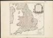
Le Royaume d'Angleterre , divisé selon les sept Royaumes, ou Heptarchie des Saxons, avec la Principauté de Galles, et subdivisé en shires ou comtés
1 : 1400000
[Grossbritannien, Südliches Blatt]
Hand-Atlas über alle Theile der Erde und über das Weltgebäude Stieler, Adolf Justus Perthes
Grossbritannien im maassstabe von 1:1.500.000 : sudliches Blatt : England (ohne die nordl. Grafschaften) u. Wales
1 : 1500000 Petermann, August Heinrich 1822-1878 Gotha : Justus Perthes
Reisekarte von England

[Grossbritannien, Südliches Blatt]
Handatlas über alle Theile der Erde und über das Weltgebäude Stieler, Adolf Justus Perthes
A new and accurate map of all the direct & principal cross roads in England and Wales
Anglie
Carte de l'Angleterre au tems de la decente des romains
1 Karte : Kupferdruck ; 24 x 22 cm s.n.
England
Stieler's Hand-Atlas Stieler, Adolf bei Justus Perthes
Britanniae sive Angliae regnum
1 : 1300000 Anglie Lotter, Tobias Conrad sumtibus Tob. Conradi Lotter
[Kaart], uit: W. & A. K. Johnston's touring and motoring map of England and Wales : showing the main roads, and railways
1 : 633600 Edinburgh [etc.] : Johnston
England, Ireland.
1 : 3900000 Peterson, Augusts
England & Wales.
1 : 1013760 Stanford, Edward
Geological map England, Wales.
1 : 1774080 Letts, Son & Co.
Railway, statistical England, Wales.
1 : 1774080 Letts, Son & Co.
[Recto], uit: England and Wales
1 : 1108000 [London] : Philip [etc.]
The Inland Navigation, Rail Roads, Geology and Minerals of England & Wales.
1 : 1090000 Arrowsmith, John
England und Wales
Hand-Atlas über alle Theile der Erde nach dem neuesten Zustande und über das Weltgebäude Stieler, Adolf bei Justus Perthes
Geological map of England and Wales / publ. under the superintendence of the Society for the Diffusion of Useful Knowledge ; arr. by Roderick Impey Murchison ; S.P. Woodward del.; cold. by T. Malby; J. & C. Walker sculpt
1 : 1780000 Annotatie: Oorspr. uitg.: Strand : Chapman and Hall, 1843; Annotatie geografische gegevens: Met aanvullingen tot 1847 Roderick Impey Murchison 1792-1871; S.P. Woodward; T. Malby; Society for the Diffusion of Useful Knowledge London : Knight
The roads of ye south part of Great Britain, called England and Wales, containing all ye cities, market towns, post towns, boroughs: and whatever places have ye election of members of parliament &c. all the great or post roads, and principal cross-roads &
1 : 2000000
Smith's new map of England and Wales with parts of Scotland : including the turnpike, and principal crossroads ... / engraved by Edw[ar]d Jones & Benj[ami]n Smith
1 : 1275000 Jones, Edward (fl. 1806); Smith, Benjamin London : C. Smith
England
1 : 1380000 Anglie Weiland, Karl Ferdinand Maedel, Carl Jos. Geograph. Institut
England
1 : 1380000 Anglie Weiland, Karl Ferdinand Maedel, Carl Jos. Geograph. Institut