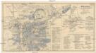
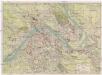
Maps of Holešovice
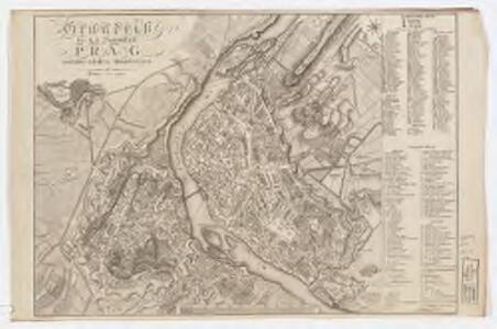
Grundriß des K. K. Hauptstadt Prag und ihres nächsten Umgebungen
Wöltner, Leop [s.n.]
Pharusův plán král. hlav. města Prahy
1 : 11500
Praha

Plán Prahy a obcí sousedních
Praha (Česko) Hurtig, Alfred Neudörfl, Jaroslav Jos. R. Vilímek
Praha

Plán stanic a pásem sítě elektr. drah hlavního města Prahy
Praha (Česko)
Orientační plán hlavního města Prahy
1 : 15000
Plan de la ville de Prague, capitale du royaume de Boheme, assiegée par les troupes Hongroisses et Autrichiennes en l'an 1742
Praha (Česko)
Praha : informační plán
1 : 15000
Podrobný plán Hlavního města Prahy
Praha
Praha (Česko) Salač, Klement Metzeroth, Carl B. Kočí
Okolí Pražské

Plán královského hlavního města Prahy s okolím
Praha (Česko) Brož, Josef Grefnetter, Josef B. Rácová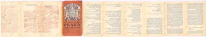
Praha, hlavní město ČSR : Fastrův obrázkový plán a průvodce
1 : 10000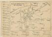
Nové tratě elektrických drah hlav. města Prahy

[Plán Prahy]
Praha (Česko)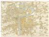
Prag
1 : 16000 Praha (Česko) Grgurič, V. Vilím, Jan Čedok
Praha : [II. celostátní spartakiáda 1960]
1 : 15000
Orientační automobilový plán velké Prahy
Praha (Česko) Poláček, K. Wallenfels, F. cestovní oddělení Autoklubu Republiky Československé
Plán královského hlavního města Prahy

Grundrisz der königlichen Hauptstadt Prag
1 : 4500 Praha (Česko) Jüttner, Josef Drda, Josef Jan Alois auf Veranlassung und Kosten des böhmischen Nationalmuseums
Grundrisz der königlichen Hauptstadt Prag
1 : 4500 Praha (Česko) Jüttner, Josef Drda, Josef Jan Alois auf Veranlassung und Kosten des böhmischen Nationalmuseums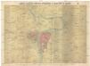
Král. hlavní město Praha s okolím r. 1848
1 : 10000 Praha (Česko)
Plan of Prague
1 : 16000 V. Neubert a Synové V. Neubert a Synové
Militærisch topographischer Plan von der königl. Hauptstadt Prag nebst Umgebungen
Pharusův plán hlav. města Prahy
1 : 14000 Praha (Česko) Löwe, Cornelius K. André
Militaerisch Topographischer Plan von der Königl. Hauptstadt Prag nebst Umgebungen

Plán tratí elektrických drah král. Hlav. Města Prahy

Praha : [II. celostátní spartakiáda 1960]
1 : 15000