Maps of Smíchov
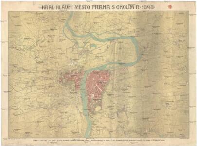
Král. hlavní město Praha s okolím r. 1848
1 : 10000 Praha (Česko)
Plan der Stadt Prag = Plán Prahy : mit den neuesten Benennungen : s nejnovějším pojmenováním ulic
1 : 16000
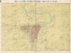
Síť kanalisace Prahy
Praha (Česko)
Plan der Königlischen Hauptstadt Prag
Praha (Česko) Sommer, Lorenz
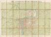
Král. hlavní město Praha s okolím r. 1848
Královské hlavní město Praha s okolím r. 1848

Síť kanalisace Prahy

Orientační automobilový plán velké Prahy
Praha (Česko) Poláček, K. Wallenfels, F. cestovní oddělení Autoklubu Republiky Československé
Orientační automobilový plán Velké Prahy
Praha (Česko) Poláček, K. Wallenfels, F. cestovní oddělení Autoklubu Republiky Československé
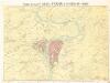
Nejnovější a nejúplnější plán královského hlavního města Prahy a obcí sousedních
Praha (Česko) Brož, Josef Volk A. Štorch syn
Orientační plán hlavního města Prahy
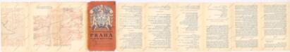
Praha, hlavní město ČSR : Fastrův obrázkový plán a průvodce
1 : 10000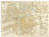
Prag
1 : 16000 Praha (Česko) Grgurič, V. Vilím, Jan Čedok
Plán král. hlav. města Prahy a obcí sousedních
1 : 12000
Praha : [II. celostátní spartakiáda 1960]
1 : 15000
Plán král. Hlav. Města Prahy a obcí sousedních

Ichnographia et orthographia metropolis Pragensis
1 : 7200 Praha (Česko)
Ichnographia et orthographia metropolis Pragensis
1 : 7200 Praha (Česko)
Ichnographia et orthographia metropolis Pragensis
1 : 7200 Praha (Česko)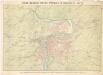
Král. Hlavní město Praha s okolím r. 1908.
Král. hlavní město Praha s okolím r. 1908
1 : 10000
Plán tratí elektrických drah král. Hlav. Města Prahy

Praha : informační plán
1 : 15000
Grundrisz der königlichen Hauptstadt Prag
1 : 4500 Praha (Česko) Jüttner, Josef Drda, Josef Jan Alois auf Veranlassung und Kosten des böhmischen Nationalmuseums
Grundrisz der königlichen Hauptstadt Prag
1 : 4500 Praha (Česko) Jüttner, Josef Drda, Josef Jan Alois auf Veranlassung und Kosten des böhmischen Nationalmuseums
Plán tratí elektr. drah král. hl. města Prahy
Praha (Česko)
Bez titulu: Plán Prahy
Král. Hlavní město Praha s okolím r. 1848.

Praha : [II. celostátní spartakiáda 1960]
1 : 15000