Maps of Ganges Plain

N. Hindostan.
1 : 1480000 Robert Laurie & James Whittle
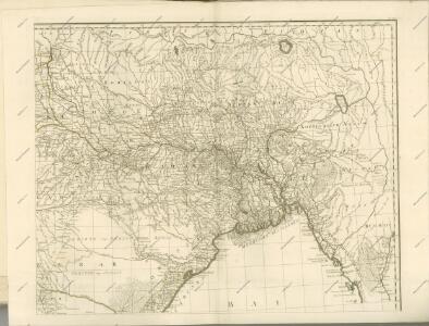
Bengal, Bahar, Oude, Allahabad.
1 : 1480000 Rennell, James, 1742-1830
Gangetic Hindoostan or the countries occupied by the Ganges and the branches
1 : 7000000 Cary, John, ca. 1754-1835 J. Cary
Bengal Etc.
1 : 3380000 Sharpe, J.
Provinces of the Lower Ganges.
1 : 2000000 John Bartholomew & Co.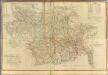
Composite: Bengal, Bahar &c.
1 : 750000 Robert Laurie & James Whittle
Sheet C [North East India], uit: Road map of India
1 : 2027520 titelvariant: North West India; Central & North India; North East India; South India; Annotatie geografische gegevens: De bladen overlappen elkaar gedeeltelijk; Elk blad met bladoverzicht van de hele serie [S.l. : India Tyre & Rubber Company]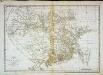
Carte du Bengale et de ses dépendances
1 Karte : Kupferdruck ; 37 x 53 cm Bolts s.n.
The Province of Bengal and Assam
India Office reference collection of maps Survey of India
The Province of Bengal
India Office reference collection of maps Survey of India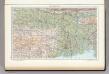
142. Lower Ganga (Ganges) Valley. The World Atlas.
1 : 2500000 USSR (Union of Soviet Socialist Republics).
India 8.
1 : 2217600 Letts, Son & Co.
India VIII. Bengal Presidency.
1 : 2200000 Society for the Diffusion of Useful Knowledge (Great Britain)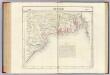
Bengale. Asie 95.
1 : 1641836 Vandermaelen, Philippe, 1795-1869
India VII.
1 : 2200000 Society for the Diffusion of Useful Knowledge (Great Britain)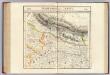
Nepaul. Asie 83.
1 : 1641836 Vandermaelen, Philippe, 1795-1869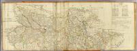
(Bengal, Bahar &c north)
1 : 750000 Robert Laurie & James Whittle
India 10.
1 : 2217600 Letts, Son & Co.
India X.
1 : 2200000 Society for the Diffusion of Useful Knowledge (Great Britain)
India 7.
1 : 2217600 Letts, Son & Co.
Karte von Asam, Ost-Bengalen und Nord-Birma
1 : 2275000 Bengálsko Mahlmann, Heinrich Etzel, Franz August von D. Reimer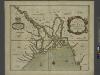
A mapp of the greate river GANGES as ir emptieth it selfe into the bay of BENGALA
from The sea-atlas : containing an hydrographical description of most of the sea-coasts of the known parts of the world.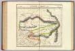
Assam et Boutan. Asie 84.
1 : 1641836 Vandermaelen, Philippe, 1795-1869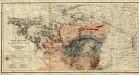
Gold, copper and lead in Chota Nagpore
This is the map contained within the 176-page volume Gold, copper and lead in Chota Nagpore and the adjacent country, compiled by W. King and T.A. Pope and published in Calcutta. King, W., F.G.S. (William) Calcutta : Thacker, Spink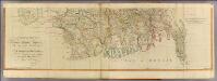
Bengal, Bahar &c. (south)
1 : 750000 Robert Laurie & James Whittle
India and adjacent countries
1 : 1000000 Bangladéš Survey of India offices
Composite: Delhi, Agrah, Oude, Ellahabad.
1 : 750000 Robert Laurie & James Whittle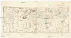
Central-Asia according to the Chinese San-ts'ai-ťu-hui 1607
Asie střední Herrmann, A.