Maps of Poland
Prussia & Poland.
1 : 1584000 Arrowsmith, John
Generale-Charte der Preussischen Monarchie in zwey Blättern
1 : 1030000 Prusko Streit, Friedrich Wilhelm Gilly Geograph. Institut
Prussia and Saxony.
1 : 3000000 Colton, G.W.
Prussia and Saxony.
1 : 3000000 Colton, G.W.
Germany, Prussia and Saxony.
1 : 2500000 Colton, G.W.
Prussia.
1 : 3400000 Finley, Anthony
Prussia and Saxony.
1 : 3000000 Colton, G.W.
Prussia.
1 : 3300000 Tanner, Henry S.
Germany No.1, Prussia and Saxony.
1 : 2500000 Colton, G.W.
Prussia.
1 : 4118400 Lucas, Fielding Jr.
Carte de la monarchie prussienne, a l'orient du Weser
1 : 2300000 Prusko Mentelle, Edme Tardieu, Pierre François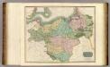
Prussian Dominions.
1 : 1450000 Thomson, John
Charte des nordöstlichen Deutschlands nebst Preussen u. Polen
Preußen, Kongresspolen
Prussia.
1 : 1628000 Johnson, A.J.
Prussia.
1 : 2650000 Hughes, William
Prussian States.
1 : 3738240 Burr, David H., 1803-1875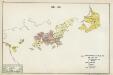
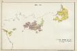
IV. 1640 - 1688
Brandenburg Expansion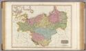
Prussian Dominions.
1 : 1440000 Pinkerton, John, 1758-1826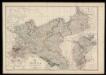
Prussia and Mecklenburg / drawn & engraved by J.W. Lowry
Lowry, Joseph Wilson Day & Son
[Nordöstliches Deutschland]
Schul-Atlas über alle Theile der Erde nach dem neuesten Zustande, und über das Weltgebäude Stieler, Adolf Justus Perthes
Preussen, Polen.
1 : 3000000 Haller von Hallerstein, Friedrich; Reichard, C. G.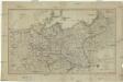
Karte der sämtlichen Preussischen Staaten
1 : 2500000 Prusko Mollo, Tranquillo bey T. Mollo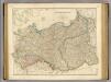
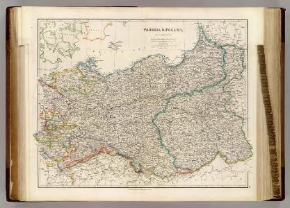
Prussia, Poland.
1 : 1570000 Arrowsmith, John
Charte vom Preussischen Staate oder Gebirgs- und Fluss- Charte des nördlichen Teutschlands
1 : 1700000 Neuchâtel (Švýcarsko) Streit, Friedrich Wilhelm Leutemann, H. J. C. Hinrichssche Buchhandlung
Charte von den Königreichen Preussen und Polen, dem Grosherzogthum Posen nebst dem Gebiete der freien Stadt Krakau. Nach dem am 3. May 1815 zu Wien zwischen Russland, Preussen und Oesterreich abgeschlossenen Tractate
Kongresspolen, Provinz Posen
[Nordöstl. Deutschland und Polen]
[Allgemeiner Atlas über alle Theile der Erde in 29 Blättern] Ziegler, Jakob Melchior Top. Anstalt v. J. Wurster u. Comp.
Prussia And Saxony.
1 : 2661120 Colton, G.W.
Prussia.
1 : 3400000 Finley, Anthony
Prussian States.
1 : 5200000 Arrowsmith, Aaron; Lewis, Samuel