Maps of Poland

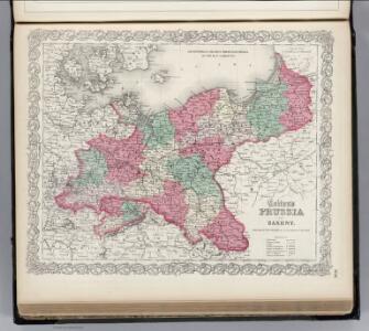
Prussia and Saxony.
1 : 3000000 Colton, G.W.
Prussia.
1 : 3300000 Tanner, Henry S.
Germany No.1, Prussia and Saxony.
1 : 2500000 Colton, G.W.
Prussia.
1 : 3400000 Finley, Anthony
Prussia.
1 : 1628000 Johnson, A.J.
Prussia and Saxony.
1 : 3000000 Colton, G.W.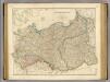
Prussia, Poland.
1 : 1570000 Arrowsmith, John
Prussia and Saxony.
1 : 3000000 Colton, G.W.
Germany, Prussia and Saxony.
1 : 2500000 Colton, G.W.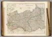
Prussia & Poland.
1 : 1584000 Arrowsmith, John
Prussia.
1 : 2650000 Hughes, William
Prussia And Saxony.
1 : 2661120 Colton, G.W.
Generale-Charte der Preussischen Monarchie in zwey Blättern
1 : 1030000 Prusko Streit, Friedrich Wilhelm Gilly Geograph. Institut
Prussia.
1 : 4118400 Lucas, Fielding Jr.
Nordöstliches Central-Europa
Ostmitteleuropa
Carte de la monarchie prussienne, a l'orient du Weser
1 : 2300000 Prusko Mentelle, Edme Tardieu, Pierre François
Prussia.
1 : 3400000 Finley, Anthony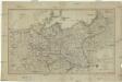
Karte der sämtlichen Preussischen Staaten
1 : 2500000 Prusko Mollo, Tranquillo bey T. Mollo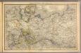
Nord- u. Mittel-Deutschland, nebst Daenemark.
1 : 1900000 Stein, Christ. Gottfr. Dan.
Prussia.
1 : 2400000 Hall, S. (Sidney)
Prussian Dominions.
1 : 8500000 Fenner, Rest.
Prussia.
1 : 3300000 Tanner, Henry S.
Prussia.
1 : 3300000 Tanner, Henry S.
Prussian States.
1 : 3738240 Burr, David H., 1803-1875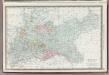
Germany Northern Portion.
1 : 2500000 Rand McNally and Company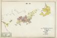
IV. 1640 - 1688
Brandenburg Expansion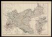
Prussia and Mecklenburg / drawn & engraved by J.W. Lowry
Lowry, Joseph Wilson Day & Son
Kurstaat Brandenburg
Brandenburg
Preussen, Neuchatel, Valengin.
1 : 3200000 Radefeld, Carl Christian Franz, 1788-1874