Maps of Seven Seas (Open Ocean)

Oceanica.
1 : 66000000 Mitchell, Samuel Augustus
Map of Oceanica.
1 : 70000000 Mitchell, Samuel Augustus
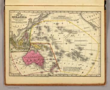
Map of Oceanica.
1 : 70000000 Mitchell, Samuel Augustus
Australia y Oceania
1 mapa. Datat al s.XIX. 0 Gras y compañia, editores. Madrid
Oceanie.
1 : 64000000 Levasseur, Victor.
OSEANIE
Oceanie.
1 : 45000000 Migeon, J.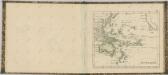


Longueurs du pendule.
1 : 75000000 L'Isle, Guillaume de, 1675-1726
Animals - World.
Woodbridge, William C.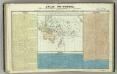
Tableau l'historie de l'Oceanie.
1 : 60000000 Duval, Henri
Atlantischer Ocean
E. von Sydow's Schul-Atlas in sechs und dreissig Karten Sydow, Emil von bei Justus Perthes
Atlas über die Entwicklung von Industrie und Handel der Schweiz in dem Zeitraume vom Jahr 1770 bis zum Jahr 1870
1 : 45000000 1 Atlas ([3], VIII Bl.) im Auftrage der schweizerischen Commission für die additionellen Ausstellungen in Wien, bearbeitet von Dr. Hermann Wartmann Wurster Randegger & Co., Winterthur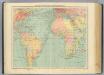
4-5. Linee di comunicazione, Oceano Atlantico.
1 : 30000000 Touring club italiano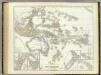
Australien.
1 : 23500000 Kiepert, Heinrich, 1818-1899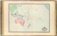
Oceanie.
1 : 27000000 Garnier, F. A., 1803-1863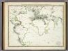
Die Vulkanischen Erscheinungen Der Atlen Welt.
1 : 65000000 Berghaus, Heinrich
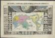
Inhabited World.
1 : 93000000 Woodbridge, William C.
Oceanie.
Andriveau-Goujon, J.
Australien
Austrálie Mollo, Tranquillo bey Tranquillo Mollo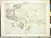
OCEANIE

Australie a Oceanie

Australien.
1 : 185000000 Brudin, J. L.; Stieler, Adolf
Isothermal chart.
1 : 95000000 Woodbridge, William C.
Isothermal chart, productions.
1 : 80000000 Woodbridge, William C.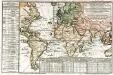
Carte des lieux où les differentes longueurs du pendule à secondes ont été observées
1 Karte : Kupferdruck ; 24 x 37 cm, Blattgrösse 46 x 61 cm Buache Philippe Buache
Australie.

Objevy zemí na hranici středního a nového věku