Maps of Metropolitan France

Frankreich
1 : 3640000 Francie Mollo, Florian Florian Mollo
Frankreich
1 : 3640000 Francie Florian Mollo
Königreich Frankreich
Francie
Königreich Frankreich
1 : 3500000 Francie
France en 1789.
1 : 3000000 Levasseur, E.
Karte von Frankreich
1 : 2056000 Francie Mollo, Tranquillo T. Mollo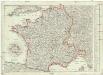
Karte von Frankreich
1 : 2056000 Francie Müller, Franz T. Mollo
Karte von Frankreich
1 : 2060000 Francie Mollo, Tranquillo T. Mollo und Comp.
Karte von Frankreich
1 : 2060000 Francie Mollo, Tranquillo T. Mollo und Comp.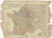
Karte von Frankreich
1 : 2060000 Francie Mollo, Tranquillo T. Mollo und Comp.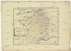
Allgemeine Postkarte von Frankreich zur Uebersicht
Francie Müller, Franz im von Reillyschen Landkarten und Kunstwerke Verschleiss Komptoir

Carte Physique et Mineralogique de la France.
1 : 3500000 Malte-Brun, Conrad, 1775-1826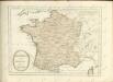

Composite: Frankreich in 4 Blattern.
1 : 1500000 Vogel, C.
France.
1 : 3500000 Malte-Brun, Conrad, 1775-1826
France - Belgium and Switzerland.
1 : 3380000 Sharpe, J.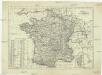
Königreich Frankreich
1 : 4000000 Francie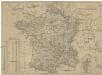
Königreich Frankreich
Francie
Karte von Frankreich
1 : 4260000 Francie Amon, Anton J. Riedls Kunsthandlung
Karte von Frankreich
1 : 4260000 Francie Amon, Anton J. Riedls Kunsthandlung
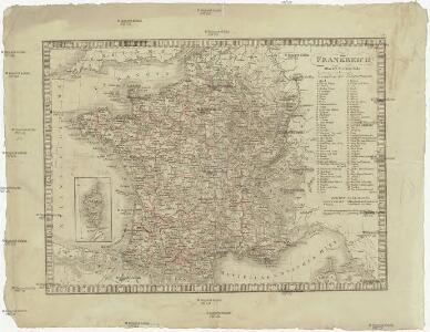
Frankreich
1 : 541000 Francie Schönfelder, F. Edl. von
France, Suisse.
1 : 2100000 Levasseur, E.
France a l'epoque de 1789.
1 : 2950000 Brue, Adrien Hubert, 1786-1832
Carte comparative des divisions anciennes et modernes de la France
1 Karte : Kupferdruck ; 33 x 41 cm Mentelle; Tardieu; Dubuisson Mentelle
Carte physique de la France
1 Karte : Kupferdruck ; 34 x 41 cm Mentelle; Tardieu; Dubuisson Mentelle
Frankreich
Grosser Hand-Atlas über alle Theile der Erde in 170 Karten Meyer, J. Verlag des Bibliographischen Instituts
Frankreich

France Provinces en 1789
Vidal de La Blache, Paul