Maps of Metropolitan France

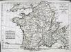
Carte Physique et Mineralogique de la France.
1 : 3500000 Malte-Brun, Conrad, 1775-1826
Königreich Frankreich
1 : 4000000 Francie
Königreich Frankreich
Francie
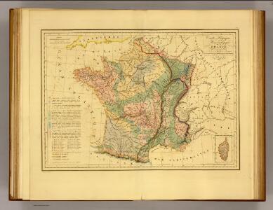
France.
1 : 3500000 Malte-Brun, Conrad, 1775-1826
Königreich Frankreich
Francie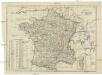
Königreich Frankreich
1 : 3500000 Francie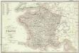
Carte itinéraire de la France
Francie Lorain, A. chez Dopter
France - Belgium and Switzerland.
1 : 3380000 Sharpe, J.
Königreich Frankreich

Frankreich
1 : 3640000 Francie Mollo, Florian Florian Mollo
Frankreich
1 : 3640000 Francie Florian Mollo
La nouvelle France : paix du 28 juin 1919 / par F. Schrader, F. Prudent et E. Anthoine
1 : 1750000 Annotatie: Linksboven: Extrait de l'Atlas de géographie moderne Schrader, F.; Prudent, F.; Anthoine, E. Paris : Hachette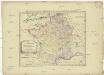
Allgemeine Postkarte von Frankreich zur Uebersicht
Francie Müller, Franz im von Reillyschen Landkarten und Kunstwerke Verschleiss Komptoir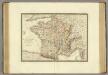
France a l'epoque de 1789.
1 : 2950000 Brue, Adrien Hubert, 1786-1832
France, Suisse.
1 : 2100000 Levasseur, E.
Le royaume de France
1 Karte : Kupferdruck ; 44 x 63 cm Jaillot; Cordier; Sanson; Basset; Basset chez Basset rüe St. Jacques au coin de celle des Mathurins
Le royaume de France
1 Karte : Kupferdruck ; 45 x 64 cm Janvier; Santini; Choffard chez Francois Santini rue S.te Justine pres la ditte eglise
La France par gouvernements
1 Karte : Kupferdruck ; 21 x 31 cm Bonne; Perrier s.n.
Le royaume de France
1 Karte : Kupferdruck ; 46 x 64 cm Janvier; Lattré; Choffard chés Lattré graveur rue St. Jacques près la fontaine Saint Severin à la ville de Bordeaux
Karte von Frankreich
1 : 2056000 Francie Mollo, Tranquillo T. Mollo
Karte von Frankreich
1 : 2056000 Francie Müller, Franz T. Mollo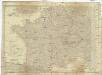
Karte von Frankreich
1 : 2060000 Francie Mollo, Tranquillo T. Mollo und Comp.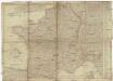
Karte von Frankreich
1 : 2060000 Francie Mollo, Tranquillo T. Mollo und Comp.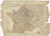
Karte von Frankreich
1 : 2060000 Francie Mollo, Tranquillo T. Mollo und Comp.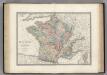
France en 1789.
1 : 3000000 Levasseur, E.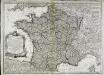
Nouvelle carte du royaume de France
1 Karte : Kupferdruck ; 45 x 62 cm Delafosse; Basset; Basset chez Basset rue St. Jacques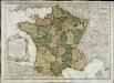
Nouvelle carte du royaume de France
1 Karte : Kupferdruck ; 45 x 62 cm Delafosse; Daumont chez Daumont rue St. Martin près St. Julien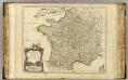
France.
1 : 2350000 Robert de Vaugondy, Gilles, 1688-1766