Maps of Canadian Shield

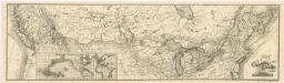
Map of the Missouri; of the higher parts of the Mississippi.
1 : 8500000 Tardieu, P.F.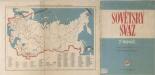
Sovětský svaz v mapách

West-Canada und Britisch Columbia
Adolf Stieler's Handatlas über alle Theile der Erde und über das Weltgebäude Stieler, Adolf Justus Perthes
Western Canada.
1 : 5955840 Johnston, W. & A.K.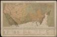
Le Canada catholique
1 : 6300000 [Lyon : Oeuvre de la propagation de la foi]
Facsimile: Walch's North America (portion).
1 : 13000000 Walch, Joh.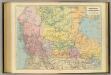
British Columbia, North West Territory.
1 : 5274720 Stanford, Edward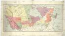
Map of the Dominion of Canada
1 : 6210000 Kanada Department of the Interior, Surveys Branch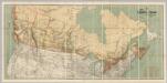
Map Shewing the Railways of Canada.
1 : 2660000 Canada Government Railways
Facsimile: Devine's Northwest Part of Canada (portion).
1 : 9000000 Devine, Thos.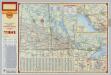
Shell Manitoba - Saskatchewan. Alaska Highway. Calgary. Edmonton.
1 : 3041280 Shell Oil Company
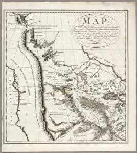
Louisiana.
1 : 23500000 Carey, Mathew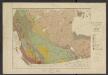
Atlas of Canada. No. 4, Geology, west sheet
1 : 6336000 Canada. Ministère de l'intérieur [Ottawa] : Canada, Department of the Interior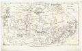
Canada
Kanada Dathe, C. Gleditsch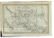
Charte von Mackenzie's Reisen von Montreal zu dem nördlichen Eis- und dem stillen Meere
1 : 18500000 Landes-Industrie-Comptoir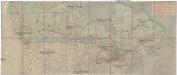
Canada's Grand Trunk Eisenbahnsystem
1 : 7500000 Kanada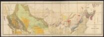
Map of the Dominion of Canada
1 : 2700000 Geological and Natural History Survey (Canada) Geological and Natural History Survey of Canada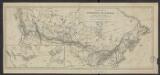
Carte de la puissance du Canada dressée et publiée par l'ordre du Ministre des Chemins de fer et des Canaux (1882)
1 : 8300000 [Lieu de publication inconnu] : éditeur inconnu]
A Map Of The United States Of Mexico.
1 : 5195520 Tanner, Henry S.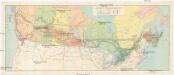
Canadian national railways
1 : 4730000 Kanada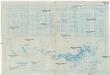
Pulp & paper map of Canada
1 : 6270000 Kanada Department of the Interior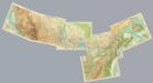
Composite: Canada 1:2,500,000.
1 : 2500000 John Bartholomew and Son
191-192. Canada, West. The World Atlas.
1 : 5000000 USSR (Union of Soviet Socialist Republics).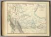
Western Canada.
1 : 5955840 Johnston, Alexander Keith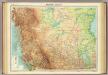
Western Canada.
1 : 5000000 John Bartholomew and Son
Wind and current chart of the North-Pacific
1 : 4000000 Maury, Matthew Fontaine [United States Hydrographical Office]
Vereinigte Staate(n v. Nordamerika) I.
1 : 8000000 Berghaus, Heinrich; Flemming, Carl; Sohr, Karl
Facsimile: Pinkerton's British Possessions in North America (portion).
1 : 8200000 Pinkerton
Oregon.
from The cerographic atlas of the United States. By Sidney E. Morse, A.M., and Samuel Breese, A.M.