Maps of Canadian Shield
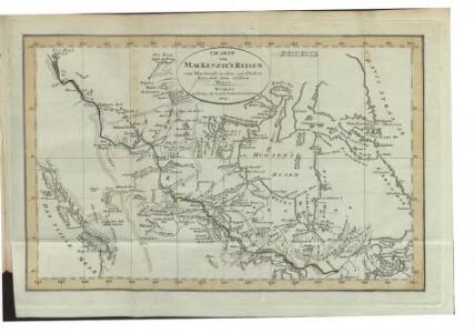
Charte von Mackenzie's Reisen von Montreal zu dem nördlichen Eis- und dem stillen Meere
1 : 18500000 Landes-Industrie-Comptoir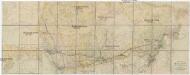
Map of the Grand Trunk Pacific Railway and branches
1 : 6330000 Aljaška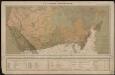
Le Canada catholique
1 : 6300000 [Lyon : Oeuvre de la propagation de la foi]
Allgemeine Uebersicht der von Britischen Officieren in den Polar Gegenden von den Jahren 1818 bis 1826 gemachten Entdeckungen
1 : 12200000 Weimar : Verlag des Geograph. Instituts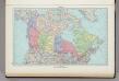
187. Canada, Political. The World Atlas.
1 : 15000000 USSR (Union of Soviet Socialist Republics).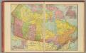
Canada.
1 : 10500000 Cram, George Franklin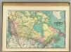
British America.
1 : 11500000 Rand McNally and Company
British America.
1 : 7087000 Rand McNally and Company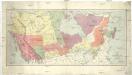
Map of the Dominion of Canada
1 : 6210000 Kanada Department of the Interior, Surveys Branch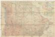
Canada
1 : 5892480 Kanada National Geographic Society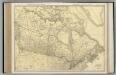
Canada.
1 : 8554000 Rand McNally and Company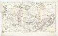
Canada
Kanada Dathe, C. Gleditsch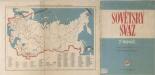
Sovětský svaz v mapách
Canada's Grand Trunk Eisenbahnsystem
1 : 7500000 Kanada
Western Canada.
1 : 5955840 Johnston, W. & A.K.
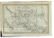
British Columbia, North West Territory.
1 : 5274720 Stanford, Edward
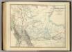
West-Canada und Britisch Columbia
Adolf Stieler's Handatlas über alle Theile der Erde und über das Weltgebäude Stieler, Adolf Justus Perthes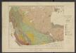
Atlas of Canada. No. 4, Geology, west sheet
1 : 6336000 Canada. Ministère de l'intérieur [Ottawa] : Canada, Department of the Interior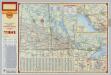
Shell Manitoba - Saskatchewan. Alaska Highway. Calgary. Edmonton.
1 : 3041280 Shell Oil Company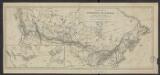
Carte de la puissance du Canada dressée et publiée par l'ordre du Ministre des Chemins de fer et des Canaux (1882)
1 : 8300000 [Lieu de publication inconnu] : éditeur inconnu]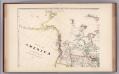
Facsimile: Arrowsmith's America (portion).
1 : 10220000 Arrowsmith, Aaron
Map of Canadian Pacific Railway and connections showing routes to the Yukon gold fields, Alaska, Klondike : and the Northwestern mining territories of Canada
1 : 6336000 Chicago [Ill.] : Poole Bros.
Map Shewing the Railways of Canada.
1 : 2660000 Canada Government Railways
Map of the Missouri; of the higher parts of the Mississippi.
1 : 8500000 Tardieu, P.F.
Pulp & paper map of Canada
1 : 6270000 Kanada Department of the Interior
Canadian national railways
1 : 4730000 Kanada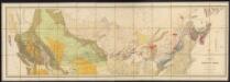
Map of the Dominion of Canada
1 : 2700000 Geological and Natural History Survey (Canada) Geological and Natural History Survey of Canada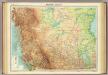
Western Canada.
1 : 5000000 John Bartholomew and Son
191-192. Canada, West. The World Atlas.
1 : 5000000 USSR (Union of Soviet Socialist Republics).