Maps of Europe

Des Russischen Reichs Europäischer Theil
Stieler's Hand-Atlas Stieler, Adolf bei Justus Perthes
Ost Europa
1 : 12500000 Russland / Europäischer Teil
Europäisches Russland
1 : 20500000 Russland / Europäischer Teil
Das europäische Russland
Schul-Atlas in 36 Karten Völter, Daniel Verlag der J.M. Dannheimer'schen Buchhandlung
La Russie d'Europe
Russland Bielaerts, J. B.
Karte der Bevölkerung Russlands im 19. Jahrhundert
Russland Bevölkerungsdichte
Karte der Bevölkerung Russlands im 9. Jahrhundert
Russland Bevölkerungsdichte
Russland
1 : 15000000 Evropa východní Kocen, Blaž Eduard Hölzel
Europaeisches Russland mit Polen
Geographischer Atlas über alle Theile der Erde Ziegler, Jakob Melchior Verlag von Joh. Wurster um Comp.
Europaeisches Russland mit Polen
Geographischer Atlas über alle Theile der Erde Ziegler, Jakob Melchior Verlag von Dietrich Reimer
[Europ. Russland]
[Allgemeiner Atlas über alle Theile der Erde in 29 Blättern] Ziegler, Jakob Melchior Top. Anstalt v. J. Wurster u. Comp.
TABVLA | RVSSIÆ | ex autographo, quod delineandum | curavit Foedor filius Tzaris Boris desum- | ta; et ad fluvios Dwinam, Zuchanam, aliaque | loca, quantum ex tabulis ex notitiis ad nos dela- | tis fieri potuit, amplificata...
Amstelodami, | Excusum Apud Guiljelmum Blaeu
Europäisches Russland
1 : 14500000 Russland / Europäischer Teil
Russland beim Tode Katharinas II. 1796
Russland
Karte der Vergrösserungen Russlands unter Peter dem Grossen und seinen Nachfolgern
Russland Peter I.
Sarmatische Tiefebene
Osteuropa, Ostmitteleuropa
Carte de la Pologne à son apogee, sous Sigismond-Auguste, en face du Principat de Russie sous le czar Ivan IV, vers l’an 1570 de notre ère
Polen Russland Polen-Litauen Zygmunt August
Skandinavien und Rußland
1 : 18000000 Skandinavien, Osteuropa
Karte der Vergrösserungen Russlands unter Peter dem Grossen und seinen Nachfolgern
Russland Peter I.
Europäisches Russland
1 : 16000000 Russland / Europäischer Teil
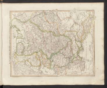
Eastern Europe.
1 : 14495100 Fisher, Richard Swainson
Russland
1 : 36000000 Russland / Europäischer Teil
Europaeisches Russland mit Kasan, Astrachan und Georgien
Schul-Atlas über alle Theile der Erde nach dem neuesten Zustande, und über das Weltgebäude Stieler, Adolf bei Justus Perthes
Europaeisches Russland mit Kasan, Astrachan und Georgien
Russland / Europäischer Teil
Europäisches Russland
Russland / Europäischer Teil
Ruszland
1 : 18000000 Russland / Europäischer Teil
Russland
Neuer Handatlas über alle Theile der Erde Kiepert, Heinrich Verlag von Dietrich Reimer
Russland 1682-1762
1 : 18000000 Russland Expansion
Wirtschaftskarten I. Rußland
1 : 18000000 Russland / Europäischer Teil Wirtschaft
Russia.
1 : 7760000 Johnson, A.J.