Maps of Spain
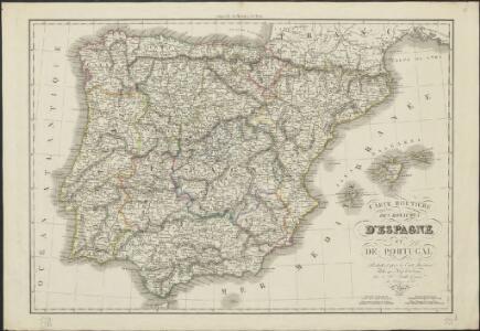
Carte routière des royaumes d'Espagne et de Portugal : réduite d'après la Carte itinéraire publiée par le Dépôt de la Guerre
1 : 1850000 par L. H. Berthe A Paris : Berthe
Karte von dem Iberischen Halb-Insellande, oder den Königreichen Spanien und Portugal
1 : 1500000 entworfen und in den Jahren 1826-1829 bearb. von Heinrich Berghaus gestochen von Heinrich Brose ; Schrift von Wilhelm Brose München : Cotta
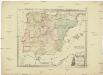
A new map of Spain and Portugal : exhibiting the chains of mountains with their passes, the principal & cross roads, with other details requisite for the intelligence of military operations / comp. by Jasper Nantiat
1 : 850000 Annotatie: Met afstandentabel Nantiat, Jasper London : W. Faden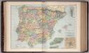
Spain and Portugal 20
1 : 2500000 Appleton, D. & Co.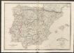
Spain & Portugal
A new general atlas of modern geography, consisting of a complete collection of maps of the four quarters of the globe Wyld, James James Wyld

Spanien und Portugal
Portugalsko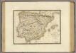
Espagne ancienne.
1 : 2700000 Brue, Adrien Hubert, 1786-1832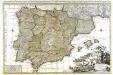
L'Espagne
1 Karte : Kupferdruck ; 56 x 87 cm Sanson; Luchtenburg chez Jean Covens et Corneille Mortier
Carte des routes de postes et itinéraires d'Espagne et de Portugal
1 : 2440000 Portugalsko Lapie, Pierre Picquet, Ch. Artaria
Carte des routes de postes et itinéraires d'Espagne et de Portugal
1 : 2440000 Portugalsko Picquet, Ch. Lapie, Pierre Artaria
Espagne, Portugal.
1 : 2800000 Brue, Adrien Hubert, 1786-1832
Karte von dem Iberischen Halbinsellande oder den Königreichen Spanien und Portugal
1 : 1500000 Portugalsko Berghaus, Heinrich Karl Wilhelm Brose, Heinrich J.G. Cotta's geographischer Anstalt
Karte von dem Iberischen Halbinsellande oder den Königreichen Spanien und Portugal
1 : 1500000 Portugalsko Berghaus, Heinrich Karl Wilhelm Brose, Heinrich J.G. Cotta's geographischer Anstalt
Spanien Und Portugal.
1 : 3700000 Vogel, C.
Mapa general de caminos de España y de Portugal con las nuevas divisiones de provincias sirve de continuación al Atlas nacional de España
1 : 1800000 por A.H. Dufour la geografía grabada por Desbuissons y Leclercq ; la letra grabada por Bénard Paris : Bulla
Spanien und Portugal
Plastischer Schul-Atlas über alle Theile der Erde : in 24 Karten Woldermann, G Verlag von P. Eckerlein
Espagne et Portugal.
1 : 3375000 Migeon, J.
Spain, Portugal
1 : 3000000 Andree, Richard; Times (London, England)
Spain and Portugal.
1 : 3300000 Carey, Mathew
Spain And Portugal.
1 : 3300000 Carey, Mathew
Spain and Portugal.
1 : 3358080 Carey, Mathew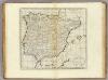
Spain and Portugal.
1 : 3294720 Carey, Mathew
Spain and Portugal.
1 : 3294720 Carey, Mathew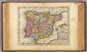
Spain and Portugal.
1 : 6000000 Moll, Herman, d. 1732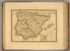
Espagne ancienne.
1 : 2800000 Picquet, C.
Soubor němých map pro gymnasia a odborné školy
Postkarte von Spanien und Portugal
Portugalsko Engelmann, Johann Wenzel im von Reillyschen Landkarten und Kunstwerke Verschleiss Komptoir