Maps of Kroučová

Kopie katastrální mapy obce Třeboc z roku 1841, list IX 1

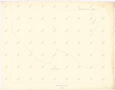
Kopie katastrální mapy obce Kroučová z roku 1841, list II 1

Hospodářská mapa polesí Třeboc, list 3 1
1 : 2880
Krautschow (Kraučow) - c3572-1-003 - Kaiserpflichtexemplar der Landkarten des stabilen Katasters
1 : 2880
Krautschow (Kraučow) - c3572-1-001 - Kaiserpflichtexemplar der Landkarten des stabilen Katasters
1 : 2880
Krautschow (Kraučow) - c3572-1-002 - Kaiserpflichtexemplar der Landkarten des stabilen Katasters
1 : 2880
Hospodářská mapa polesí Třeboc, list 2 1
1 : 2880
Trzebotz (Třeboc) - c8039-1-003 - Kaiserpflichtexemplar der Landkarten des stabilen Katasters
1 : 2880
Trzebotz (Třeboc) - c8039-1-006 - Kaiserpflichtexemplar der Landkarten des stabilen Katasters
1 : 2880
Trzebotz (Třeboc) - c8039-1-002 - Kaiserpflichtexemplar der Landkarten des stabilen Katasters
1 : 2880
Trzebotz (Třeboc) - c8039-1-007 - Kaiserpflichtexemplar der Landkarten des stabilen Katasters
1 : 2880
Trzebotz (Třeboc) - c8039-1-005 - Kaiserpflichtexemplar der Landkarten des stabilen Katasters
1 : 2880
Trzebotz (Třeboc) - c8039-1-001 - Kaiserpflichtexemplar der Landkarten des stabilen Katasters
1 : 2880
Trzebotz (Třeboc) - c8039-1-004 - Kaiserpflichtexemplar der Landkarten des stabilen Katasters
1 : 2880
Porostní mapa polesí Třeboc 1

Kopie katastrální mapy obce Kroučová z roku 1841, list VII 1

Hospodářská mapa polesí Třeboc, list 4 1
1 : 2880
Hospodářská mapa polesí Třeboc, list 5 1
1 : 2880
Pochwalow - c5962-1-001 - Kaiserpflichtexemplar der Landkarten des stabilen Katasters
1 : 2880
Pochwalow - c5962-1-002 - Kaiserpflichtexemplar der Landkarten des stabilen Katasters
1 : 2880
Pochwalow - c5962-1-003 - Kaiserpflichtexemplar der Landkarten des stabilen Katasters
1 : 2880
Pochwalow - c5962-1-004 - Kaiserpflichtexemplar der Landkarten des stabilen Katasters
1 : 2880
Porostní mapa polesí Třeboc 1

Porostní mapa polesí Třeboc 1

Porostní mapa polesí Domoušice 1
1 : 15000
Mapa polesí Třeboc, Obora, Přerubenice 1
1 : 20000
Přehledná mapa lesů lesního okrsku Domoušice 1

Přehledná mapa polesí Domoušice, Rovina, Selmice, Markvarec 3239
1 : 23000
Porostní mapa pro exkurzi Českého lesnického spolku v domoušickém lesním okrsku v roce 1881 1
1 : 20000