Maps of Polynesia
Map of the World.
1 : 85000000 Rand McNally and Company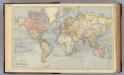
The World.
1 : 65000000 Letts, Son & Co.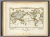
Darstellung Der Isodynamischen Linien.
1 : 130000000 Berghaus, Heinrich
[Botanical Geography]
The physical atlas Johnston, Alexander Keith William Blackwood & Sons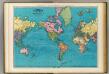
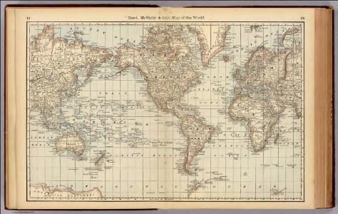
World, Mercator's projection.
1 : 64000000 Rand McNally and Company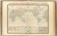
Courants atmospheriques, oceaniques.
1 : 70000000 Garnier, F. A., 1803-1863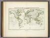
Beobachteten Werthe Der Declination.
1 : 130000000 Berghaus, Heinrich
Kaart der oude waereld tot verstand van het XXI boek van den Geest der wetten
1 : 40000000 J.C. de Roeder delin. H. Klockhoff sculp. Te Amsterdam : bij Holtrop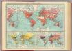
World - commerce.
1 : 92000000 John Bartholomew and Son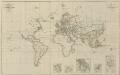
IX. Charte für die allgemeine Geschichte von Carl V. bis auf den Anfang des XXX-jährigen Krieges : d.i. von 1519 bis 1618 n. Christus
Entworfen von F.W. Benicken A. Falger gr. Weimar : im Verlage des L. Industrie-Comptoirs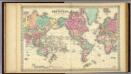
Colton's Map Of The World On Mercator's Projection.
1 : 65000000 Colton, G.W.
India Extrema; XIX. Nova Tabula. [Karte], in: Claud. Ptolemaeus. Geographia lat. cum mappis [...], S. 413.
1 Karte aus Atlas Münster, Sebastian [und Ptolemaeus, Claudius]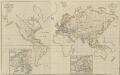
XIV. Charte für die allgemeine Geschichte vom Frieden zu Presburg bis auf den IIten Frieden zu Paris : d.i. von 1806 bis 1815 n. Christus
Entworfen von F.W. Benicken Weimar : im Verlage des L. Industrie-Comptoirs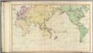
General chart.
1 : 45000000 Roberts, Henry, Lieut.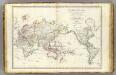
Mappe-monde.
1 : 55000000 Brue, Adrien Hubert, 1786-1832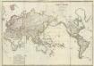
Composite: Mappe-monde
1 : 27000000 Brue, Adrien Hubert, 1786-1832
Versuch einer Karte zur Übersicht der Fluthwellen
Erster Band, enthaltend in vier Abtheilungen die Erscheinungen der anorganischen Natur: 1. Meteorologie und Klimatographie. 2. Hydrologie und Hydrographie. 3. Geologie. 4. Tellurischer Magnetismus Humboldt, Alexander von Verlag von Justus Perthes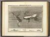
Hyetographische Karte der Erde.
1 : 100000000 Berghaus, Heinrich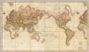
Chart of the world upon Mercator's projection.
1 : 20000000 Cary, John, ca. 1754-1835
Planisphère
1 : 57000000 Izarny-Gargas; France. Service géographique de l'armée [Paris] :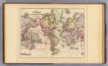
World Mercator proj.
1 : 97000000 Mitchell, Samuel Augustus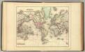
World Mercator proj.
1 : 97000000 Mitchell, Samuel Augustus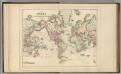
World Mercator proj.
1 : 97000000 Mitchell, Samuel Augustus Jr.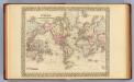
World Mercator proj.
1 : 100000000 Mitchell, Samuel Augustus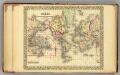
World.
1 : 95000000 Mitchell, Samuel Augustus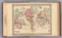
World Mercator proj.
1 : 100000000 Mitchell, Samuel Augustus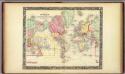
Map Of The World On The Mercator Projection.
1 : 100000000 Mitchell, Samuel Augustus
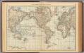
The world, on Mercator's projection
1 : 74000000 Burr, David H., 1803-1875 Published by J. Haven, 86 State St.
Allgemeine Ornitho- und Erpetologische Erdkarte.
1 : 130000000 Berghaus, Heinrich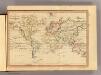
The World, Mercator's projection.
1 : 255000000 Fenner, Rest.
Routes par lesquelles les richesses metalliques.
1 : 160000000 Humboldt, Alexander von, 1769-1859