Maps of Polynesia
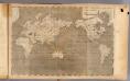
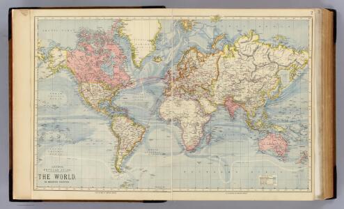
The World.
1 : 65000000 Letts, Son & Co.
World, Mercator's projection.
1 : 64000000 Rand McNally and Company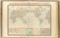
Courants atmospheriques, oceaniques.
1 : 70000000 Garnier, F. A., 1803-1863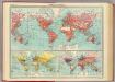
World - commerce.
1 : 92000000 John Bartholomew and Son
India Extrema; XIX. Nova Tabula. [Karte], in: Claud. Ptolemaeus. Geographia lat. cum mappis [...], S. 413.
1 Karte aus Atlas Münster, Sebastian [und Ptolemaeus, Claudius]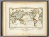
Darstellung Der Isodynamischen Linien.
1 : 130000000 Berghaus, Heinrich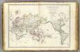
Mappe-monde.
1 : 55000000 Brue, Adrien Hubert, 1786-1832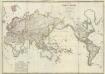
Composite: Mappe-monde
1 : 27000000 Brue, Adrien Hubert, 1786-1832
[Botanical Geography]
The physical atlas Johnston, Alexander Keith William Blackwood & Sons
Hyetographische Karte der Erde.
1 : 100000000 Berghaus, Heinrich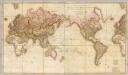
Chart of the world upon Mercator's projection.
1 : 20000000 Cary, John, ca. 1754-1835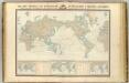
Navigation, les oceans.
1 : 67000000 Garnier, F. A., 1803-1863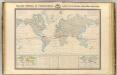
Thermometrie.
1 : 70000000 Garnier, F. A., 1803-1863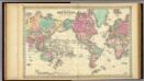
Colton's Map Of The World On Mercator's Projection.
1 : 65000000 Colton, G.W.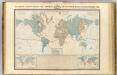
Systeme magnetique terrestre.
1 : 70000000 Garnier, F. A., 1803-1863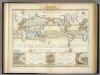
Windkarte der Erde.
1 : 100000000 Berghaus, Heinrich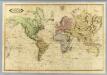
World.
1 : 51000000 Lizars, Daniel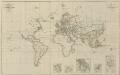
IX. Charte für die allgemeine Geschichte von Carl V. bis auf den Anfang des XXX-jährigen Krieges : d.i. von 1519 bis 1618 n. Christus
Entworfen von F.W. Benicken A. Falger gr. Weimar : im Verlage des L. Industrie-Comptoirs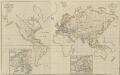
XIV. Charte für die allgemeine Geschichte vom Frieden zu Presburg bis auf den IIten Frieden zu Paris : d.i. von 1806 bis 1815 n. Christus
Entworfen von F.W. Benicken Weimar : im Verlage des L. Industrie-Comptoirs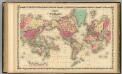
Map Of The World on Mercator's Projection.
1 : 75000000 Johnson, A.J.
Hyetographic; rain map.
1 : 71500000 Johnston, Alexander Keith, 1804-1871
Verschiedenes zur Anthropographie.
1 : 200000000 Berghaus, Heinrich
Nova totius terrarum orbis geographica ac hydrographica tabula / autore N.I. Piscator
1 : 50000000 Annotatie: Origineel is Blad 1 in atlas factice; Met talrijke kostuumfiguren in kaartrand Visscher, Claes Jansz. [Amsterdam : C.J. Visscher excudebat]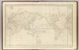
Mappemonde.
1 : 50000000 La Perouse, Jean-Francois de Galaup, comte de, 1741-1788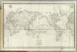
Mappemonde.
1 : 50000000 La Perouse, Jean-Francois de Galaup, comte de, 1741-1788
Welt-Karte zur Ubersicht der Luft-Stromungen und der See-Wege.
1 : 115000000 Berghaus, Hermann
Welt-Karte zur Ubersicht der Meeres-Stromungen und des Schnellverkehrs.
1 : 115000000 Berghaus, Hermann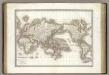
Mappe-monde.
1 : 75000000 Lapie, M. (Pierre), 1779-1850
World - climate.
1 : 260000000 John Bartholomew and Son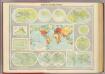
Mapping of the world.
1 : 120000000 John Bartholomew and Son
General chart, Mercator proj.
1 : 168000000 Seaman, James V.
World Mercator's projection.
1 : 112000000 Arrowsmith, Aaron; Lewis, Samuel