Maps of Argyll and Bute
Perth and Clackmannan Sheet CI.SW & SE - OS 6 Inch map
1 : 10560 Topographic maps Ordnance Survey Ordnance Survey
Dunbartonshire Sheet n I.SE - OS 6 Inch map
1 : 10560 Topographic maps Ordnance Survey Ordnance Survey
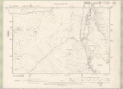
Argyll and Bute Sheet CXXVI.NE - OS 6 Inch map
1 : 10560 Topographic maps Ordnance Survey Ordnance Survey
Argyll and Bute Sheet CXXVI.NE - OS 6 Inch map
1 : 10560 Topographic maps Ordnance Survey Ordnance Survey
Dumbartonshire Sheet III.NE - OS 6 Inch map
1 : 10560 Topographic maps Ordnance Survey Ordnance Survey
Dumbartonshire Sheet I.SE - OS 6 Inch map
1 : 10560 Topographic maps Ordnance Survey Ordnance Survey
Perthshire, Sheet CI - OS 6 Inch map
1 : 10560 Topographic maps Ordnance Survey Ordnance Survey
Argyllshire, Sheet CXXVI - OS 6 Inch map
1 : 10560 Topographic maps Ordnance Survey Ordnance Survey
Argyll and Bute Sheet CXXVI - OS 6 Inch map
1 : 10560 Topographic maps Ordnance Survey Ordnance Survey
Dumbartonshire, Sheet III (Inset Sheet V) - OS 6 Inch map
1 : 10560 Topographic maps Ordnance Survey Ordnance Survey
Dunbartonshire Sheet n II - OS 6 Inch map
1 : 10560 Topographic maps Ordnance Survey Ordnance Survey
Argyll and Bute Sheet CXIV.SE - OS 6 Inch map
1 : 10560 Topographic maps Ordnance Survey Ordnance Survey
Argyll and Bute Sheet CXXVII.NW - OS 6 Inch map
1 : 10560 Topographic maps Ordnance Survey Ordnance Survey
Argyll and Bute Sheet CXXVII.NW - OS 6 Inch map
1 : 10560 Topographic maps Ordnance Survey Ordnance Survey
Argyll and Bute Sheet CXV.SW - OS 6 Inch map
1 : 10560 Topographic maps Ordnance Survey Ordnance Survey
Argyll and Bute Sheet CXV.SW - OS 6 Inch map
1 : 10560 Topographic maps Ordnance Survey Ordnance Survey
Oban & Loch Awe (61) - OS One-Inch map
1 : 63360 Topographic maps Ordnance Survey Ordnance Survey
Oban & Loch Awe (61) - OS One-Inch map
1 : 63360 Topographic maps Ordnance Survey Ordnance Survey
The Shire of Lenox [i.e. Lennox] or Dunbarton / by H. Moll.
Moll, Herman, d. 1732
Loch Lomond - OS One-Inch Map
1 : 63360 Topographic maps Ordnance Survey Ordnance Survey
A map of the Shire of Dumbarton.
Ross, Charles, 1722-1806
A map of the Shire of Dumbarton.
Ross, Charles, 1722-1806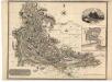
Dumbartonshire.
Thomson, John, 1777- ca. 1840
Trossachs, Loch Lomond - Bartholomew's 'Survey Atlas of Scotland'
1 : 126720 Topographic maps John Bartholomew & Son, Ltd John Bartholomew & Son, Ltd
Composite: Dumfriesshire.
1 : 64000 Crawford & Son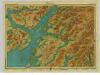
Argyll, Sheet 11 - Bartholomew's "Half Inch to the Mile Maps" of Scotland
1 : 126720 Topographic maps John Bartholomew & Son, Ltd John Bartholomew & Son, Ltd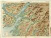
Oban & Loch Awe, Sheet 11 - Bartholomew's "Half Inch to the Mile Maps" of Scotland
1 : 126720 Topographic maps Bartholomew, John George John Bartholomew & Co
Argyle : Lorn, Knapdale, and Cowal. All parts of Argyle Shire / by H. Moll.
Moll, Herman, d. 1732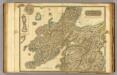
Argyllshire N.
1 : 175000 Thomson, John