Cataloged map
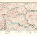
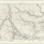
Loch Lomond - OS One-Inch Map
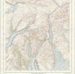

Full title:Loch Lomond - OS One-Inch Map
Depicted:1954
Pubdate:1956
Publisher:Ordnance Survey
Physical Size:20 x 30 cm
Map scale:1:63 360
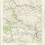
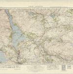
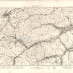
Stirling - OS One-Inch Map
1954
Ordnance Survey
1:63k
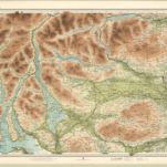
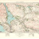
Trossachs, Loch Lomond - Bartholomew's 'Survey Atlas of Scotland'
1912
John Bartholomew & Son, Ltd
1:127k
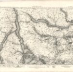
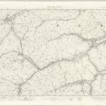
Loch Katrine & Loch Earn (62) - OS One-Inch map
1947
Ordnance Survey
1:63k
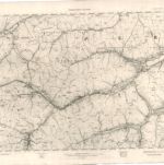
Loch Katrine & Loch Earn (62) - OS One-Inch map
1925
Ordnance Survey
1:63k
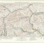
Loch Lomond (66) - OS One-Inch map
1947
Ordnance Survey
1:63k
Loch Lomond (66) - OS One-Inch map
1924
Ordnance Survey
1:63k
Loch Lomond - OS One-Inch map
1903
Ordnance Survey
1:63k
Loch Lomond - OS One-Inch map
1895
Ordnance Survey
1:63k

Loch Lomond - OS One-Inch map
1864
Ordnance Survey
1:63k
Balquhidder - OS One-Inch map
1903
Ordnance Survey
1:63k
Balquhidder - OS One-Inch map
1895
Ordnance Survey
1:63k
Balquhidder - OS One-Inch map
1870
Ordnance Survey
1:63k