Maps of Chodov

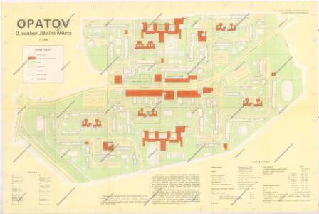
Jižní Město. - Opatov Orientační plán 2. souboru
1 : 2500
Jižní Město. - Litochleby Orientační plán 3. souboru
1 : 2500
Chodow - c2555-1-003 - Kaiserpflichtexemplar der Landkarten des stabilen Katasters
1 : 2880
Chodow - c2555-1-002 - Kaiserpflichtexemplar der Landkarten des stabilen Katasters
1 : 2880
Chodow - c2555-1-004 - Kaiserpflichtexemplar der Landkarten des stabilen Katasters
1 : 2880
Chodow - c2555-1-001 - Kaiserpflichtexemplar der Landkarten des stabilen Katasters
1 : 2880
Orientační plán hlavního města Prahy s okolím

Orientační plán hlavního města Prahy s okolím
1 : 5000
Orientační plán hlavního města Prahy s okolím

Výškopisný plán hlavního města Prahy s okolím

Augezd - c8237-1-002 - Kaiserpflichtexemplar der Landkarten des stabilen Katasters
1 : 2880
Augezd - c8237-1-003 - Kaiserpflichtexemplar der Landkarten des stabilen Katasters
1 : 2880
Augezd - c8237-1-001 - Kaiserpflichtexemplar der Landkarten des stabilen Katasters
1 : 2880
Výškopisný plán hlavního města Prahy s okolím

Jižní Město. - Háje Orientační plán 1. souboru
1 : 3500
Orientierungsplan der Hauptstadt Prag
Jiřík, Rudolf
Mapa katastrálních obcí
1 : 14400 Nusle (Praha, Česko) Herold, Theofil
Orientační plán Hlavního města Prahy

Umgebung von Prag

Umgebung von Prag IV.

Výškopisný plán hlavního města Prahy s okolím

Die öffentlichen Verkehrsmittel der Hauptstadt Prag
1 : 17500 Praha (Česko) Městské podniky pražské
Blocus de Prague
1 : 106600 Praha (Česko) Therbu Coentgen, Heinrich Hugo
Okolí Prahy
1 : 25000 Praha (Česko : oblast) Hurtig, Alfred Stát. komise
Přehledná mapa Velké Prahy : [s průvodcem a popisem všech obcí v ní zahrnutých] : [odpolední výlety po okolí pražském]
1 : 34725
III. vojenské mapování 3953/3
1 : 25000
Plán sběrného okruhu a dopravních spojů pro motorová vozidla

Bez titulu: Jihovýchodní okolí Prahy

Auto-Praha : automobilní plán Velké Prahy a příručka pro automobilisty
1 : 50000
[Praha - projekt podzemní a nadzemní dráhy].
Praha (Česko) Poláček, K. Wallenfels, F.