Maps of Røyken

14D 3 sv
1 : 20000 Due
14D 2 sø; 14D 3 nv og sv
1 : 25000 Ødegaard
14D 3
1 : 20000 Due | Bull
1814-2 Drøbak
1 : 50000 Statens kartverk
1814-2 Dröbak
1 : 50000 Norges Geografiske Oppmåling
1814-2 Drøbak
1 : 50000 Statens kartverk
1814-2 Drøbak
1 : 50000 Statens kartverk
14B 10 nø
1 : 25000 Jonas Samuel Petersen | Einar Halle
14B 11 nv
1 : 25000 Harald Ingvar Johannessen | Ivar Aavatsmark
14D 2 sø
1 : 20000 Due
14B 11 nv
1 : 20000 Due
Mil nr 53
1 : 10000 Johan Henrich Ramm | Hans Lemmich Juell
14B 11; 14D 3
1 : 50000
1814-2 Dröbak
1 : 50000 Norges Geografiske Oppmåling
1814-2 Dröbak
1 : 50000 Norges Geografiske Oppmåling
Kartblad 29: Militært Cart over det Askerske Compagnie District
M. Grønvold
Museumskart 217-44: Specialkart over Kristianiafjorden fra Drammen og Drøbak til Bastø
1 : 50000 C. F. Wille | H. N. Bergh Den Geografiske Opmaaling
Kartblad 26- Det Huurumske Compagnie District; versjon 1

Kartblad 26-2: Det Huurumske Compagnie District; versjon 2

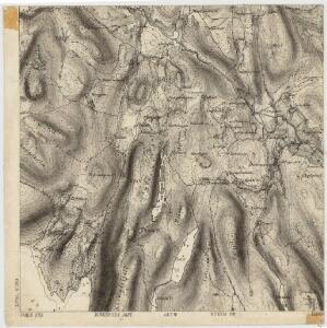
Geologisk kart 1 Den geologiske undersøgelse, Rektangel 14D Kristiania
1 : 100000 Kjerulf Norges geologiske undersøkelse
14D Oslo
1 : 100000 Johan Gulbrandsen Natrud | Ole Engh
14D Oslo
1 : 100000 Johan Gulbrandsen Natrud | Ole Engh
14D Oslo
1 : 100000 Johan Gulbrandsen Natrud | Ole Engh
14D Oslo
1 : 100000 Johan Gulbrandsen Natrud | Ole Engh
14D Oslo
1 : 100000 Johan Gulbrandsen Natrud | Ole Engh
Kartblad 25: Cartt over det Lierske Infanterie Compagnies District
Christian Heubsch
Kartblad 23: Kart over det Aggerske Compagnie District
Fridrich Helle Grønvold
Geologiske kart 58: Den geologiske Undersøgelse, Kristiania
1 : 100000 J. Natrud | J. Schetelig | W. C. Brøgger Norges geologiske undersøkelse
14B Moss
1 : 100000 Carl Bjune | H. N. Bergh | E. Heiberg