Maps of Newton

Map of the town of Newton, Mass
1 : 20660 Woodward, E. F Annin, Smith, & Co.'s Lithogy.
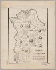
Newton
1 : 25000
Newton
1 : 24000
Newton
1 : 25000
Newton
1 : 24000
Newton
1 : 24000
Newton
1 : 24000
Newton
1 : 25000
Newton
1 : 31680
Newton
1 : 31680
Newton
1 : 31680
Newton
1 : 24000
Boston South
1 : 25000
Boston South
1 : 25000
Map of the town of Waltham, Middlesex County, Mass : Village
1 : 15600 Woodford, E. M Richard Clark
Map of the town of Waltham, Middlesex County, Mass : Town
1 : 15600 Woodford, E. M Richard Clark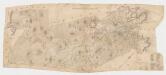
[Map of the town of Roxbury : surveyed by order of the town authorities
1 : 15840 Whitney, Charles s.n.
Map of West Roxbury : from official records, private plans and actual surveys
Hopkins, H. W. (Henry Whitmer), 1838-1920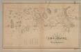
Map of the town of Brookline, Mass. : made by order of the town authorities from actual survey
1 : 9600 T. & J. Doane (Firm) L.H. Bradford & Co.
Map of Watertown, Mass. : surveyed by order of the town
1 : 12000 Eaton, S. Dwight Tappan & Bradford's Lith.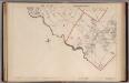
Part of the Metropolitan District (Boston), Massachusetts.
1 : 14400 Walker, O.W.
Plan of the town of Brighton : made by order of the selectmen from actual surveys : Eastern sheet
1 : 3600 Wightman, H. M A. Meisel
Plan of the town of Brighton : made by order of the selectmen from actual surveys : Western sheet
1 : 3600 Wightman, H. M A. Meisel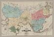
Plan of Cambridge
1 : 10560 W.A. Mason & Son Greenough & Co.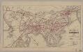
Map of the city of Cambridge for 1865
1 : 12672 Chase, J. G J.H. Bufford's Lith.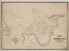
A map of Cambridge, Mass
1 : 12000 Hayward, James, 1786-1866 Eddy's Lithography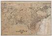
City of Cambridge, Mass
[s.n.]
Map of the city of Cambridge, Middlesex County, Massachusetts
1 : 6000 Walling, Henry Francis, 1825-1888 Geo. L. Dix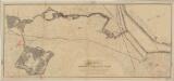
Plan of portion of park system from Common to Franklin Park : including Charles River Basin, Charlesbank, Commonwealth Avenue, Back Bay Fens, Muddy River Improvement, Leverett Park, Jamaica Park, Arborway and Arnold Arboretum
1 : 9000 Olmsted, Olmsted, and Eliot City of Boston, Park Dept.