Maps of United States
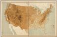
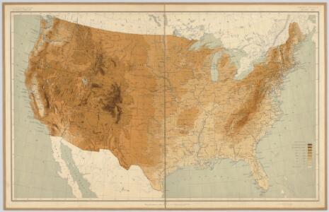
United States relief map / comp. by Henry Gannett ; engr. by U.S.G.S.
1 : 6900000 Henry Gannett 1846-1914; U.S.G.S [S.l. : U.S. Geological Survey]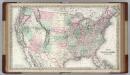
United States of America.
1 : 6336000 Colton, G.W.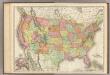
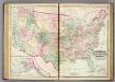
United States.
1 : 7286000 Rand McNally and Company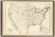
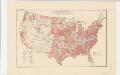
Barometer, air movement US.
1 : 7200000 United States. Census Office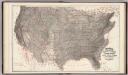
Climatological Map of the United States.
1 : 3740000 Blodget, Lorin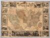
Pictorial Map Of The United States.
1 : 6336000 Ensigns & Thayer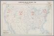
Standard time zones of the United States and adjacent parts of Canada and Mexico as of April 1, 1930
1 : 7000000 [Washington, D.C.] : U.S. Department of Commerce [etc.]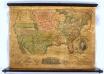
United States.
1 : 7000000 Thrall, Willis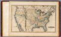
United States.
1 : 11088000 Lucas, Fielding Jr.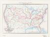
Map of the conterminous United States showing routes of the principal explorers from 1501 to 1844, whose work had an important bearing on the settlement of the country and the fixing of its successive boundaries
1 : 8500000 "Taken from Bulletin 1212, Plate 1." Original title: United States map showing routes of principal explorers and early roads and highways. Bond, Frank, 1856-1940 United States. General Land Office.; Geological Survey (U.S.); Reston, Virginia : U.S. Geological Survey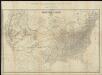
Map of the United States of America = Specialkarte der Vereinigten Staaten von Nord-America
1 : 5000000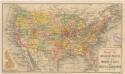
Routen der Missouri - Pacific, sowie der Wabash St. Louis und Pacific Eisenbahnen
Areas covered by the soil survey, completed to January 1934
1 : 7900000 Includes numbered list of reconnaissance surveys. "Atlas of American Agriculture, Soils, Plate 1." United States. Bureau of Chemistry and Soils. [Washington, D.C.?] : The Bureau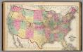
Map of the United States and territories.
1 : 7500000 Lloyd, H.H.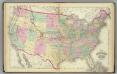
United States.
1 : 7500000 Gray, Ormando Willis; Walling, H. F.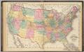
Map of the United States and territories.
1 : 7500000 Walling, H. F.
United States of America.
1 : 14606381 Clemens, Rev E.J.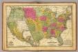
United States, Mexico.
1 : 11400000 Mitchell, Samuel Augustus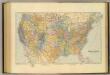
United States.
1 : 7603200 Stanford, Edward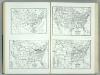
United States and Contiguous Territories: Federal Reserve Districts, Commercial Airways, Highways, and Railroads.
1 : 17398000 Hammond, C.S.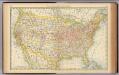
United States.
1 : 10560000 Rand McNally and Company
Geological Map of the United States and Territories.
1 : 7900000 Asher & Adams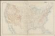
United States contour map
1 : 7000000 Geological Survey (U.S.) Geological Survey (U.S.)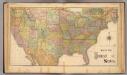
United States.
1 : 8600000 Rand McNally and Company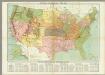
Missions Catholiques aux Etats-Unis.
1 : 5000000 Hausermann, R.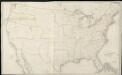
Map of the United States exhibiting the several collection districts
1 : 4000000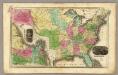
United States. (with) Eastern States.
1 : 10300000 Smiley, Thomas T.
Map Of The United States.
1 : 12000000 Ordway, Eliza S.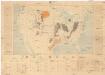
Coal fields of the United States
1 : 7000000 Spojené státy americké Campbell, R. Marius U.S. Geological Survey