Maps of United States
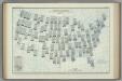
Map of the United States exhibiting the several collection districts
1 : 4000000
U.S. & territories.
1 : 8110080 Asher, Adams & Higgins; Higgins & Ryan
United States and Contiguous Territories: Federal Reserve Districts, Commercial Airways, Highways, and Railroads.
1 : 17398000 Hammond, C.S.
Zoological Divisions of the United States.
1 : 12400000 Cope, Edward D.
Map of the United States of America = Specialkarte der Vereinigten Staaten von Nord-America
1 : 5000000
Botanical Divisions of the United States.
1 : 12400000 Porter, Thomas C.
United States of America (political).
1 : 14495100 Fisher, Richard Swainson
United States and Canada.
1 : 3453120 Stanford, Edward
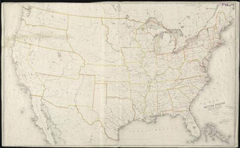
Map Of The United States And Territories.
1 : 3540000 Stanford, Edward
United States of America.
1 : 14606381 Clemens, Rev E.J.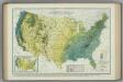
Average Winter Precipitation. Atlas of American Agriculture.
1 : 8000000 Marschner, Francis, J.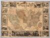
Pictorial Map Of The United States.
1 : 6336000 Ensigns & Thayer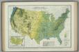
Average Fall Precipitation. Atlas of American Agriculture.
1 : 8000000 Kincer, Joseph Burton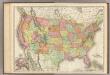
United States.
1 : 7286000 Rand McNally and Company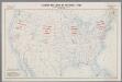
Standard time zones of the United States and adjacent parts of Canada and Mexico as of April 1, 1930
1 : 7000000 [Washington, D.C.] : U.S. Department of Commerce [etc.]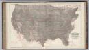
Climatological Map of the United States.
1 : 3740000 Blodget, Lorin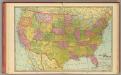
United States.
1 : 9400000 Cram, George Franklin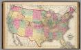
Map of the United States and territories.
1 : 7500000 Lloyd, H.H.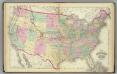
United States.
1 : 7500000 Gray, Ormando Willis; Walling, H. F.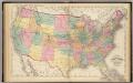
Map of the United States and territories.
1 : 7500000 Walling, H. F.
Growing Season for Four-fifths of the Years. Atlas of American Agriculture.
1 : 17000000 Reed, William Gardner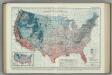
Average Dates of First Killing Frosts in Fall. Atlas of American Agriculture.
1 : 8000000 Brooks, Charles Franklin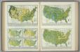
Precipitation. Precipitation Frequency. Atlas of American Agriculture.
1 : 17000000 Kincer, Joseph Burton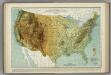
Physical Features of the United States. Atlas of American Agriculture.
1 : 8000000 Marschner, Francis J.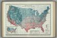
Average Dates of Last Killing Frost in Spring. Atlas of American Agriculture.
1 : 8000000 Reed, William Gardner
United States.
1 : 9900000 Rand McNally and Company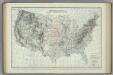
Location of Meteorological Stations. Atlas of American Agriculture.
1 : 8000000 Kincer, Joseph Burton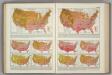
Monthly Temperature Maps: May. June. Atlas of American Agriculture.
Kincer, Joseph Burton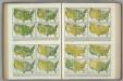
Relative Humidity, Vapor Pressure, Wet Bulb Temperature Depression. Atlas of American Agriculture.
Kincer, Joseph Burton