Maps of Germany
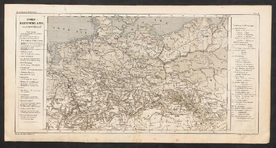
Nord-Deutschland
E. von Sydow's Schul-Atlas in sechs und dreissig Karten Sydow, Emil von bei Justus Perthes
53-55. Germania nord.
1 : 1500000 Touring club italiano
Norddeutsche Bundesstaaten
Evropa střední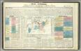
Tableau l'historie du Royaume de Prusse.
1 : 6000000 Duval, Henri
Charte des gegenwärtigen Kriegs in Teutschland ou la Guerre presente
1 : 2800000 Mollova mapová sbírka Friedrich, Jacob Andreas Frédéric, Jacques-André
Charte des gegenwärtigen Kriegs in Teutschland ou la Guerre presente
1 : 2800000 Mollova mapová sbírka Friedrich, Jacob Andreas Frédéric, Jacques-André
Norddeutsche Bundesstaaten
Evropa střední
Prussia.
1 : 4118400 Tallis, J. & F.
Prussia.
1 : 3200000 Mitchell, Samuel Augustus
Karte vom Preussischen Staate mit den Bundesstaaten in Nord-Deutschland
1 : 2400000 Neuchâtel (Švýcarsko) Bimbé, Wilhelm K.A. Kümmel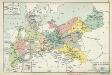
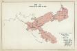
XI. Die Provinzen des Königreichs Preußen mit den Regierungsbezirken
Preußen Verwaltungsgliederung
Carte Generale du Royaume de Prusse.
1 : 3000000 Vivien de St Martin, L.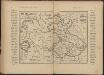
Říše Česká za Karla IV
Tschechische Republik Polen Böhmen Karl IV.
Karte des Central-Kriegsschauplatzes in Deutschland
1 : 2000000 Evropa střední Eduard Hölzel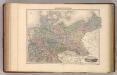
Allemagne du Nord.
1 : 2650000 Migeon, J.

Preussen, Neuchatel, Valengin.
1 : 3200000 Radefeld, Carl Christian Franz, 1788-1874
Übersichtskarte der norddeutschen Wasserstrassen
1 : 2000000 Jänecke
Carte reduite de la Carte générale d'Allemagne
1 : 1600000 Evropa střední Chauchard Dezauche, Jean-André Dezauche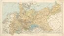
Norddeutsche Staaten

Prussia, German States.
1 : 4400000 Mitchell, Samuel Augustus
Prussia, German States.
1 : 4400000 Mitchell, Samuel Augustus
Prussia, German States.
1 : 4400000 Mitchell, Samuel Augustus Jr.
Prussia, German States.
1 : 4400000 Mitchell, Samuel Augustus
Prussia, German States.
1 : 4400000 Mitchell, Samuel Augustus
Prussia, And The German States.
1 : 4400000 Mitchell, Samuel Augustus
[Historisch-geographischer Atlas zu den allgemeinen Geschichtswerken von C. v. Rotteck, Pölitz u. Becker] : Preussen unter der Regierung Friedrich's des Grossen
von Julius Loewenberg Lithographie von B. Herder in Freiburg im Breisgau [Freiburg im Breisgau] : [Herder]
Nord-Deutschland
Geographischer Atlas über alle Theile der Erde Ziegler, Jakob Melchior Verlag von Joh. Wurster um Comp.
Germaniae Antiqvae Popvli
1 : 10750000 Mollova mapová sbírka Clüver, Philipp Fuhrmann, Mathias