Maps of Cumberland County

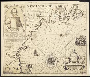
New England : the most remarqueable parts thus named by the high and mighty Prince Charles, Prince of great Britaine
1 : 1020000 Smith, John
National map of the American Republic.
from Whole
Composite: New England.
1 : 440000 Jefferys, Thomas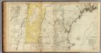
The Provinces of Massachusetts Bay and New Hampshire. (Northern section)
1 : 440000 Jefferys, Thomas
Maine, inhabited part.
1 : 560000 Greenleaf, Moses, 1777-1834
A map of New Hampshire.
from The American geography; or, A view of the present situation of the United States of America: containing astronomical geography; geographical definitions, discovery, and general description ... By Jedidiah Morse, A.M.
Maine.
1 : 1520000 Arrowsmith, Aaron; Lewis, Samuel
Maine.
1 : 1550000 Lewis, Samuel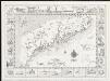
A chart of the coast of Maine
1 : 633600 Chellis, Robert Dunning Chellis, Robert Dunning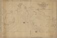
A new chart of Massachusetts Bay, and part of the coast of Maine : drawn from the latest authorities
1 : 200000 Lambert, Samuel, 1768-1832 Whipple
New Hampshire by recent survey : made under the supreme authority and published according to law
1 : 200000 Carrigain, Philip, 1772-1842 Philip Carrigain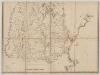
A topographical map of the Province of New Hampshire : Southern sheet
1 : 260000 Holland, Samuel, 1728-1801 Printed for William Faden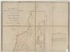
A topographical map of the Province of New Hampshire : Northern sheet
1 : 260000 Holland, Samuel, 1728-1801 Printed for William Faden
New Hampshire
1 : 377000 Sotzmann, D. F Bey Carl Ernst Bohn
New Hampshire.
1 : 850000 Colton, G.W.
A topographical map of the State of New Hampshire
1 : 485000 Holland, Samuel, 1728-1801 s.n.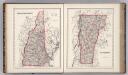
New Hampshire. Vermont.
1 : 838000 Colton, G. Woolworth
New Hampshire.
1 : 850000 Colton, G.W.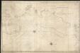
A new chart of Massachusetts Bay drawn from the latest authorities
1 : 235000 Lambert, Samuel Lambert, Samuel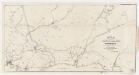
Map of the Boston & Maine Railroad : showing its relative position & connection with other railroads
1 : 162925 Boston and Maine Railroad. Committee of Investigation W.C. Sharp's Lith.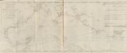
A new and correct chart of the sea coast of New-England from Cape Codd to Casco Bay
1 : 142560 Barnsley, Henry Sold by W. & I. Mount & T. Page on Tower hill
Boston
1 : 250000
Boston
1 : 250000
Boston
1 : 250000
Boston
1 : 250000
Boston
1 : 250000
Boston
1 : 250000
Boston
1 : 250000
Boston
1 : 250000
Bath
1 : 250000
Portland
1 : 250000
Portland
1 : 250000
Portland
1 : 250000
Bath
1 : 250000
Bath
1 : 250000
Portland
1 : 250000
Portland
1 : 250000
Bath
1 : 250000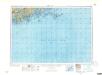
Bath
1 : 250000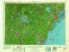
Portland
1 : 250000
Portland
1 : 250000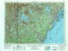
Portland
1 : 250000
Portland
1 : 250000
Bath
1 : 250000
Portland
1 : 250000
Portland
1 : 250000
Portland
1 : 250000
Bath
1 : 250000