Maps of Trnavský
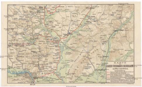
Karte der Kaiser Ferdinands-Nordbahn
Brno-oblast (Česko) R. v. Waldheim
Lundenburg 133, uit: Special-Karte von Mittel-Europa / nach amtlichen Quellen bearbeitet von W. Liebenow
1 : 300000 titelvariant: W. Liebenow's Mittel-Europa; Annotatie: Titel boven de bladen: W. Liebenow's Mittel-Europa Johannes Wilhelm Liebenow 1822-1897 Frankfurt a. M. : Ludwig Ravenstein
Ober-Neutraer Comitat
1 : 280000 Nitra-oblast (Slovensko)
C. Nitriensis. Tab. II
Slowakei Komitat Neutra
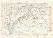
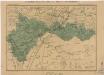
Comitatvs Posoniensis Germanis Presbvrg dicti Delineatio Geographica
1 : 150000 Mollova mapová sbírka Homann, Johann Baptist Alber, Johann Eberhard Homann, Johann Baptista - dědici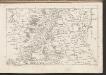
C. Posoniensis. Tab. I
Slowakei Komitat Preßburg
Bratislava okolie
Komunikační mapa země Moravskoslezské
1 : 100000 Hodonín (Česko : oblast) Morslez. zem. výbor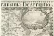
Larpa Ceres spicas fragrantia vina ministrat Incopia Bachus, dat quo que terra Crocum
1 : 153333 Mollova mapová sbírka Vischer, Georg Matthaeus Hoffmann, Jakob
Národnostní mapa Moravy

Národnostní mapa Moravy
1 : 150000 Morava jižní (Česko) Chytil, Alois nákladem Al. Chytila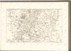

Die Kaiser Ferdinand's Nordbahn
1 : 110000 Brno (Česko) Rohrmann, P. P. Rohrmann
Generalkarte 1:200 000 zum Kriegsspielplan von Poisdorf
1 : 200000 Poysdorf (Rakousko) K.u.k militär-geographisches Institut
Poszony vármegye térképe
1 : 300000 Bratislava (Slovensko : oblast) Kogutowicz, Manó Magyar Földrajzi Intézet
Mappa Comitatvs Posoniensis
1 : 240000 Mollova mapová sbírka Nicolaï, Georg David Christoph
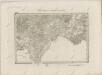
Das in dem Ertzhertzogtumb Vnter Osterreich
1 : 246000 Dolní Rakousko (Rakousko) Vischer, Georg Matthaeus Hoffmann, Jakob
Die Markgraftschaft Mähren
1 : 22000 Brno-oblast (Česko) Schenkl, Conrad Philipp Carl Winiker
COMITATVS POSONIENSIS Germanis PRESBVRG dicti Delineatio Geographica
1 : 113000 Bratislava-oblast (Slovensko) Mikoviny, Sámuel curantibus] Homannianis [Heredibus
Unter Mannhartsberg
1 : 640000 Mollova mapová sbírka Insprugger, Sebastianus Voigt, Maria Theresia
Carte Topographique d'Allemagne.
1 : 220000 Mollova mapová sbírka Jaeger, Johann Wilhelm Abraham Berndt, Johann Christoph Jäger, Johann Wilhelm Abraham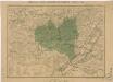
Generální mapa okresních hejtmanství
Generální mapa okresních hejtmanství

Generální mapa okresních hejtmanství
Náčrt Moravy a Slezska
II. vojenské mapování 18
1 : 144000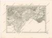
Special - Karte der Markgrafschaft Maehren und des Herzogthums Schlesien

Szencz und Pistyan (Ungarn).
from Spezialkarte der osterreichisch-ungarischen Monarchie.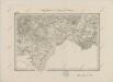
II. vojenské mapování 18
1 : 144000