Maps of Nye County

Belmont West
1 : 24000
Belmont West
1 : 24000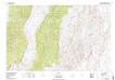
Mount Jefferson
1 : 100000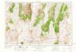
Tonopah
1 : 250000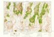
Tonopah
1 : 250000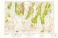
Tonopah
1 : 250000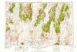
Tonopah
1 : 250000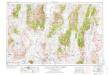
Tonopah
1 : 250000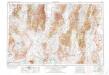
Tonopah
1 : 250000
57. Parts Of Southern Nevada And Eastern California.
1 : 506880 Wheeler, G.M.
58. Parts Of Eastern & Southern Nevada And Southwestern Utah.
1 : 506880 Wheeler, G.M.
Topography Of Southern & Southeastern Nevada.
1 : 760320 Wheeler, G.M.
Topographic Map of the Los Angeles Aqueduct and Adjacent Territory
1 : 1316800 [California? : s.n.]
Composite: 49-50,58-59,66-C67.
1 : 506880 Wheeler, G.M.
DeGroot's Map Of Nevada Territory.
1 : 776160 Holt, Warren
Nevada.
1 : 3100000 Holdredge, Sterling M.
Nevada.
1 : 2200000 Cram, George Franklin; Davis, Ellis Arthur
Nevada.
1 : 1750000 Rand McNally and Company
State Of Nevada.
1 : 1013760 U.S. General Land Office
Nevada.
1 : 1330560 Cram Atlas Company
Nevada.
1 : 1140480 U.S. General Land Office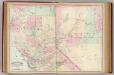
Calif., Nev. north.
1 : 1267200 Asher & Adams
California and Nevada. North Portion.
1 : 1290000 Asher & Adams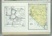
Nevada. Yellowstone National Park.
1 : 2926000 Hammond, C.S.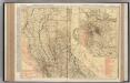
California (Northern Section).
1 : 1140000 Rand McNally and Company
Nevada.
1 : 1204000 Rand McNally and Company
Nevada.
1 : 1711000 Rand McNally and Company
Nevada.
1 : 1800000 Rand McNally and Company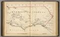
Southern California.
1 : 3300000 Holdredge, Sterling M.

