Maps of San Diego County

Julian
1 : 24000
Julian
1 : 24000
Julian
1 : 24000
Julian
1 : 24000
Julian
1 : 24000
Julian
1 : 24000
Santa Ysabel
1 : 62500
Santa Ysabel
1 : 62500
Santa Ysabel
1 : 62500
Santa Ysabel
1 : 62500
Santa Ysabel
1 : 62500
Santa Ysabel
1 : 62500
Ramona
1 : 125000
Ramona
1 : 125000
Ramona
1 : 125000
Ramona
1 : 125000
Ramona
1 : 125000
Ramona
1 : 125000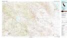
Borrego Valley
1 : 100000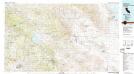
Borrego Valley
1 : 100000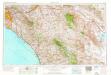
Santa Ana
1 : 250000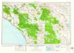
Santa Ana
1 : 250000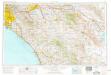
Santa Ana
1 : 250000
Santa Ana
1 : 250000
Santa Ana
1 : 250000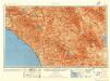
Santa Ana
1 : 250000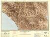
Santa Ana
1 : 250000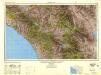
Santa Ana
1 : 250000
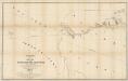
Map of a part of Southern California, showing gaging stations
1 : 1250000 Relief shown by contours and spot heights. Map is plate 1 and 2 from the U.S. Geological Survey's Water- supply paper 447. Includes index. Geologic Survey (U.S.) [Washington, D.C.] : U.S. Geological Survey, 1920.