Maps of Grant County

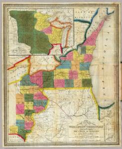
Map of the Settled Part of Wisconsin Territory.
1 : 1140480 Young, James H.
Iowa And Wisconsin.
1 : 1600000 Goodrich, S.G.
Iowa and Wisconsin.
1 : 1600000 Bradford, Thomas G.
Triangulation in Wisconsin
1 : 506880 This map shows names of triangulation stations, railroads, counties, rivers, and lakes. The Mississippi River, Lake Winnebago, and Lake Michigan are labeled. The upper right corner includes a key of markings. The map covers north to Eau Claire. Davies, John Eugene Wisconsin Geological Survey
Iowa.
from The cerographic atlas of the United States. By Sidney E. Morse, A.M., and Samuel Breese, A.M.
Wisconsin S. part.
1 : 780000 Morse, Sidney E. (Sidney Edwards), 1794-1871
Iowa.
1 : 320000 Judson, L.
Section 5. Bicycle Road Map of Wisconsin.
1 : 253440 League of American Wheelmen, Wisconsin Division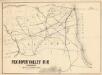
Fox River Valley R.R. in Wisconsin with its connections.
1 : 1600000 This hand colored map shows southern Wisconsin and northern Illinois and indicates county boundaries, larger cities, and some drainage. The line was chartered in 1852 and constructed in 1854. Lipman & Riddle Lipman & Riddle Lith
Burlington
1 : 250000
Burlington
1 : 250000
Peoria
1 : 250000
Burlington
1 : 250000
Peoria
1 : 250000
Burlington
1 : 250000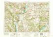
Burlington
1 : 250000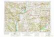
Burlington
1 : 250000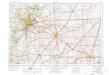
Peoria
1 : 250000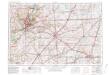
Peoria
1 : 250000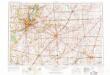
Peoria
1 : 250000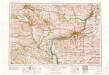
Davenport
1 : 250000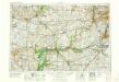
Aurora
1 : 250000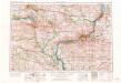
Davenport
1 : 250000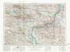
Davenport
1 : 250000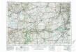
Aurora
1 : 250000
Aurora
1 : 250000
Aurora
1 : 250000
Dubuque
1 : 250000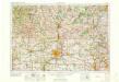
Rockford
1 : 250000
Dubuque
1 : 250000
Dubuque
1 : 250000
Dubuque
1 : 250000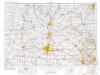
Rockford
1 : 250000
Rockford
1 : 250000
Rockford
1 : 250000