Maps of Cook County
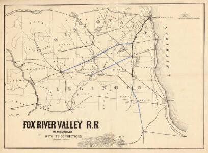
Fox River Valley R.R. in Wisconsin with its connections.
1 : 1600000 This hand colored map shows southern Wisconsin and northern Illinois and indicates county boundaries, larger cities, and some drainage. The line was chartered in 1852 and constructed in 1854. Lipman & Riddle Lipman & Riddle Lith
Rockford
1 : 250000
Rockford
1 : 250000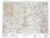
Rockford
1 : 250000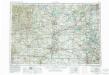
Rockford
1 : 250000
Rockford
1 : 250000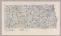
Section 1. Bicycle Road Map of Wisconsin.
1 : 253440 League of American Wheelmen, Wisconsin Division
Map of Racine and Kenosha counties, State of Wisconsin.
1 : 126720 Snyder, Van Vechten & Co.
Shell Metropolitan Chicago and Vicinity.
1 : 205920 Shell Oil Company
Jo Daviess, Carroll, Whiteside counties.
1 : 350000 Campbell, R.A.
McHenry, Lake, Kane, Du Page, Cook, Will, Kendall counties.
1 : 350000 Campbell, R.A.
De Kalb, Ogle, Lee counties.
1 : 350000 Campbell, R.A.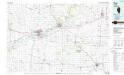
Dixon
1 : 100000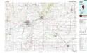
Dixon
1 : 100000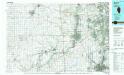
Aurora
1 : 100000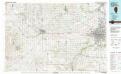
Rockford
1 : 100000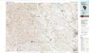
Monroe
1 : 100000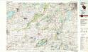
Lake Geneva
1 : 100000
Cook, Dupage, Will, Kankakee, Kane & Kendall.
1 : 130000 Rees, J. H.
Railway Terminal Map of Chicago.
1 : 85000 Rand McNally and Company
Section 4. Bicycle Road Map of Wisconsin.
1 : 253440 League of American Wheelmen, Wisconsin Division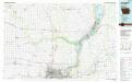
Davenport
1 : 100000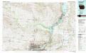
Davenport
1 : 100000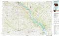
Dubuque South
1 : 100000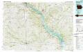
Dubuque South
1 : 100000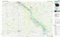
Dubuque South
1 : 100000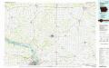
Dubuque North
1 : 100000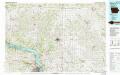
Dubuque North
1 : 100000
Stephenson, Winnebago, Boone counties.
1 : 350000 Campbell, R.A.