Maps of Brooks Range
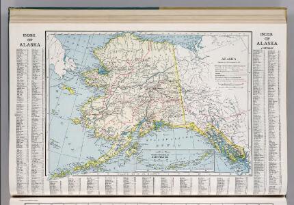
Alaska.
1 : 7153000 Hammond, C.S.
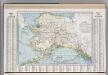
Alaska.
1 : 7500000 Cram, George Franklin; Davis, Ellis Arthur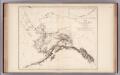
Facsimile: Petroof's Map of Alaska and Adjoining Regions.
1 : 4900000 Petroof, Ivan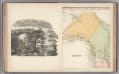
Facsimile: Tanner's North America (portion).
1 : 6650000 Tanner, H.S.
Facsimile: Petroof's Map of Alaska and Adjoining Regions: Geographical Divisions.
1 : 12000000 Petroof, Ivan
Facsimile: Petroof's Map of Alaska and Adjoining Regions: Timber, Tundra & Glaciers.
1 : 12000000 Petroof, Ivan
182-183. Alaska. The World Atlas.
1 : 5000000 USSR (Union of Soviet Socialist Republics).
The Gold and Coal Fields of Alaska.
1 : 3600000 Geological Survey (U.S.)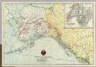
Map Of White Pass & Yukon Route And Connections.
1 : 4500000 White Pass & Yukon Route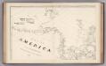
Facsimile: Arrowsmith's America (portion).
1 : 6100000 Arrowsmith, Aaron
Facsimile: Simpson's North America (portion).
1 : 35000000 Simpson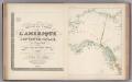
Facsimile: Brue's North America (portion).
1 : 5600000 Brue, Adrien Hubert, 1786-1832
Facsimile: Russian Dominions (portion).
1 : 6200000 Tichmenieff
Facsimile: Arrowsmith's North America (northwestern portion).
1 : 7050000 Arrowsmith
Facsimile: Arrowsmith's America (northwestern portion).
1 : 7700000 Arrowsmith
Map Showing Routes From San Francisco To Alaska And The Klondike.
1 : 4055000 Davidson, George
Facsimile: U.S. Coast Survey Northwestern America (portion).
1 : 5000000 U.S. Coast Survey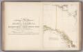
Facsimile: Arrowsmith's North America (portion).
1 : 4300000 Arrowsmith, Aaron
Nordamerika [Nebenkarte]
Nordamerika Alaska

Facsimile: Canada (portion).
1 : 12400000 Johnston, J.
Facsimile: Faden's Map North America (portion).
1 : 7280000 Faden, William, 1750?-1836
Facsimile: Pacific Ocean. Cook River to Gulf of California. British Admiralty Chart (portion).
1 : 4840000 British Admiralty
Continuacion de los reconocimientos hechos En La Costa No. De America.
1 : 6500000 Espinosa y Tello, J.
Yukon.
1 : 4055000 Rand McNally and Company
Facsimile: Imray's North Pacific (portion).
Imray, James
Facsimile: British Columbia (portion).
1 : 5900000 Alaskan Boundary Tribunal
Chart of Part of the North West Coast of America.
1 : 2250000 La Perouse, Jean-Francois de Galaup, comte de, 1741-1788
Facsimile: Dawson's Canadian Map, 1887.
1 : 1900000 Dawson