Maps of Lier

14D 10 nord
1 : 25000 Carl Olsen
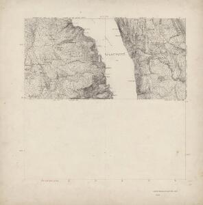
14D 10
1 : 50000 Lund
14D 6 n/2; 14D 10 s/2
1 : 25000 Johannes Solem
14D 9
1 : 50000 Carl Aksel Sigurd Sissener
14D 5
1 : 50000 Carl Aksel Sigurd Sissener
1814-4 Lier
1 : 50000 Norges Geografiske Oppmåling
1814-4 Lier
1 : 50000 Statens kartverk
1814-4 Lier
1 : 50000 Statens kartverk
F35-12, G35-7
1 : 50000 Nicolay Caspary Ræder
Skikart Oslo Vestmark
1 : 50000 Oslo (Norsko) Norges geografiske Opmaling
14D 6
1 : 20000 Niels Finckenhagen | Heyerdahl
14D 7 nv
1 : 25000 Johannes Solem
14D 11 nv
1 : 25000 Johannes Solem
Spesielle kart nr 195. Kopi av kart over kullmilene på Krokskogen.
Conrad Clausen
1814-4 Lier
1 : 50000 Statens kartverk
1814-4 Lier
1 : 50000 Norges Geografiske Oppmåling
1814-4 Lier
1 : 50000 Statens kartverk
Geologisk kart 118: The Aker Moraines
1 : 50000 J. Gjessing Norsk geografisk tidsskrift
Geologisk kart 102: Eiker
1 : 100000 Arne Bugge Norges geologiske undersøkelse
Geologiske kart 58: Den geologiske Undersøgelse, Kristiania
1 : 100000 J. Natrud | J. Schetelig | W. C. Brøgger Norges geologiske undersøkelse
Portefølje nr 23
1 : 100000
Trigonometrisk grunnlag, vedlegg 60
1 : 50000
Trigonometrisk grunnlag, dublett 60: Kart over trigonometriske punkter foretatt i 1795

1814-4 Lier
1 : 50000 Norges Geografiske Oppmåling
Kartblad 62: Cart over det Modumske Compagnie District
Niels Riis
Kartblad 29: Militært Cart over det Askerske Compagnie District
M. Grønvold
14D Oslo
1 : 100000 Johan Gulbrandsen Natrud | Ole Engh
14D Oslo
1 : 100000 Johan Gulbrandsen Natrud | Ole Engh
14D Oslo
1 : 100000 Johan Gulbrandsen Natrud | Ole Engh