Maps of Rennebu

Kartblad 104: Carte over det Størensche Compagnie District
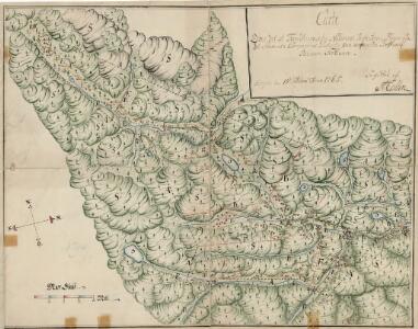
A. Collin
42D Rennebu
1 : 100000
Kartblad 105: Carte over det Størenske Compagnie District
Peter Laurentius Sidelmann Sigholdt
Kartblad 106: Carte over det Renneboiske Compagnie District

42D Rennebu
1 : 100000
42D Rennebu
1 : 100000
42D Rennebu
1 : 100000 Torgrim Lundtvedt | Nicolai Franck
42D Rennebu
1 : 100000 Torgrim Lundtvedt | Nicolai Franck
42D Rennebu
1 : 100000 Torgrim Lundtvedt | Ole Engh
42D Rennebu
1 : 100000 Ole Engh | Torgrim Lundtvedt
Spesielle kart 113-3: Oversigtskart over de forskjellige Grænsealternativer mellem Trondhjems Stift og Hamar og Bergens Stifter
1 : 100000 J. Sejersted
46B 1; 46B 2; 46B 3; 46B 4; 46B 5; 46B 6; 46B 7; 46B 8
1 : 50000 Fredrik Christian Sejersted
1520-1 Rennebu
1 : 50000 Statens kartverk
1620-4 Budal
1 : 50000 Statens kartverk
1520-1 Rennebu
1 : 50000 Statens kartverk
1520-1 Rennebu
1 : 50000 Norges Geografiske Oppmåling
42C 8; 42C 12; 42D 5; 42D 9
1 : 50000 Ole Hagbart Bertrand Norgrenn
42D 7; 42D 8; 42D 11; 42D 12
1 : 50000
Geologisk kart 107: Løkken-feltet
1 : 50000 C. W. Carstens
42B 11; 42B 12; 42D 3; 42D 4
1 : 50000 Halvor Sejersted
42C 3; 42C 4
1 : 50000 Thorlak Aas
1620-4 Singsås
1 : 50000 Norges Geografiske Oppmåling
1520-1 Rennebu
1 : 50000 Norges Geografiske Oppmåling
1520-1 Rennebu
1 : 50000 Statens kartverk
1620-4 Budal
1 : 50000 Statens kartverk
1620-4 Budal
1 : 50000 Norges Geografiske Oppmåling
1620-4 Tåvåfjellet
1 : 50000 Statens kartverk
42A 8; 42A 12; 42B 5; 42B 9
1 : 50000 Johan Lauritz Bull
42D 1; 42D 2; 45D 5
1 : 50000