Maps of Dinaric Alps

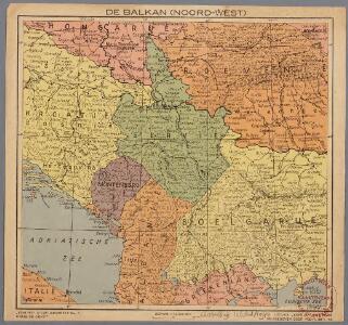
De Balkan (Noord-West)
1 : 3400000 Den Haag : Kompas
Bez titulu: Balkánské státy

Grenzen vor dem Kriege
Südosteuropa Osmanisches Reich Grenze
Les Serbes, les Croates et les Slovènes parmi les nations-voisines
Serbien Kroatien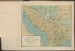
Le pays des Serbes, des Croates et des Slovenes
Jugoslawien Physische Geografie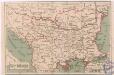
Státy Balkánské

[Die Balkan-Halbinsel, Blatt 1]
Adolf Stieler's Handatlas über alle Theile der Erde und über das Weltgebäude Stieler, Adolf Justus Perthes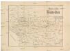
Mapa války rakousko-srbské
balkánské země
Überfall, Besatzung und Teilung Jugoslawiens 1941
Jugoslawien Balkanfeldzug <1941>, Besetzung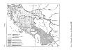
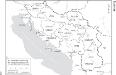
Historische Regionen des Königreichs SHS
Kraljevina Srba, Hrvata i Slovenaca Džambo, Jozo
Karte des Oesterreichisch - ungarischen Reiches

Übersichtskarte des südlichen Kriegsschauplatzes
1 : 750000 Rakousko-Uhersko k. u. k. Hof- und Universitätsbuchhandlung R. Lechner (W. Müller)
Kroatien, Slavonien, Militair-Granze, Dalmatien, Bosnien, Serbien, Montenegro.
1 : 1673850 Handtke, Friedrich H.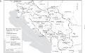
Staatenbildung im ehemaligen Jugoslawien, 1991 - 2008
1 : 2500000 Jugoslawien Auflösung, Staatenbildung Clewing, Konrad ; John, Holger W.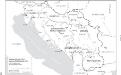
Jugoslawien nach dem Zweiten Weltkrieg (bis 1991) mit Republiken und Autonomen Provinzen
1 : 2500000 Jugoslawien Clewing, Konrad ; John, Holger W.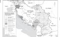
Besetzung und territoriale Aufteilung Jugoslawiens im Zweiten Weltkrieg
1 : 2500000 Jugoslawien Besetzung, Weltkrieg <1939-1945> Clewing, Konrad ; John, Holger W.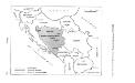
SFR Jugoslawien 1945-1991
Jugoslawien Džambo, Jozo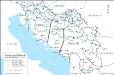
Eisenbahnnetz und Aufteilung der Adriaküste in Zonen (nach Vasković)
1 : 2500000 Jugoslawien Eisenbahnnetz Kežić, Danijel ; John, Holger W.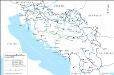
Das jugoslawische Eisenbahnnetz im Jahre 1918
1 : 2500000 Jugoslawien Eisenbahnnetz Kežić, Danijel ; John, Holger W.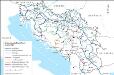
Das jugoslawische Eisenbahnnetz im Jahre 1969
1 : 2500000 Jugoslawien Eisenbahnnetz Kežić, Danijel ; John, Holger W.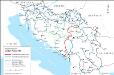
Eisenbahnnetz und Adria-Bahn-Projekte 1922
1 : 2500000 Jugoslawien Eisenbahnnetz Kežić, Danijel ; John, Holger W.
Artaria ́s Handkarte des Königreiches der Serben, Kroaten und Slovenen
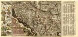
Mappa Geographica Novissima et accuratissima Regni Hungariae Inferioris
1 : 1400000 Mollova mapová sbírka Lidl, Johann Jakob Lidl, Johann Jacob
Mappa Geographica Novissima et accuratissima Regni Hungariae Inferioris
1 : 1400000 Mollova mapová sbírka Lidl, Johann Jakob Lidl, Johann Jacob
Balkan
Balkanhalbinsel
Velika zidna karta Srba, Hrvata i Slovenaca
Die administrative Einteilung des Königreiches Jugoslawien nach Banschaften/banovine (ab 1929)
1 : 2500000 Jugoslawien Verwaltungsgliederung Clewing, Konrad ; John, Holger W.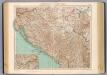
77-78. Jugoslavia.
1 : 1500000 Touring club italiano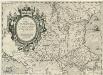
Romaniae [quae olim Thracia dicta]
Mollova mapová sbírka Gastaldi, Jacobo