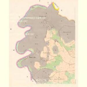
Maps of Otročín

Tissau - c7915-1-003 - Kaiserpflichtexemplar der Landkarten des stabilen Katasters
1 : 2880
Tissau - c7915-1-002 - Kaiserpflichtexemplar der Landkarten des stabilen Katasters
1 : 2880
Tissau - c7915-1-001 - Kaiserpflichtexemplar der Landkarten des stabilen Katasters
1 : 2880
Pautek - c6057-1-002 - Kaiserpflichtexemplar der Landkarten des stabilen Katasters
1 : 2880
Pautek - c6057-1-004 - Kaiserpflichtexemplar der Landkarten des stabilen Katasters
1 : 2880
Pautek - c6057-1-003 - Kaiserpflichtexemplar der Landkarten des stabilen Katasters
1 : 2880
Pautek - c6057-1-001 - Kaiserpflichtexemplar der Landkarten des stabilen Katasters
1 : 2880
Mies - c4584-1-004 - Kaiserpflichtexemplar der Landkarten des stabilen Katasters
1 : 2880
Mies - c4584-1-002 - Kaiserpflichtexemplar der Landkarten des stabilen Katasters
1 : 2880
Mies - c4584-1-003 - Kaiserpflichtexemplar der Landkarten des stabilen Katasters
1 : 2880
Mies - c4584-1-001 - Kaiserpflichtexemplar der Landkarten des stabilen Katasters
1 : 2880
Grün - c4247-2-001 - Kaiserpflichtexemplar der Landkarten des stabilen Katasters
1 : 2880
Grün - c4247-2-005 - Kaiserpflichtexemplar der Landkarten des stabilen Katasters
1 : 2880
Grün - c4247-2-003 - Kaiserpflichtexemplar der Landkarten des stabilen Katasters
1 : 2880
Grün - c4247-2-004 - Kaiserpflichtexemplar der Landkarten des stabilen Katasters
1 : 2880
Grün - c4247-2-002 - Kaiserpflichtexemplar der Landkarten des stabilen Katasters
1 : 2880
Grün - c4247-2-006 - Kaiserpflichtexemplar der Landkarten des stabilen Katasters
1 : 2880
Passlas - c0322-1-002 - Kaiserpflichtexemplar der Landkarten des stabilen Katasters
1 : 2880
Passlas - c0322-1-001 - Kaiserpflichtexemplar der Landkarten des stabilen Katasters
1 : 2880

Rundansicht von dem Basaltberge Podhorn (2634 Wien. Fuss) auf der Herrschaft Tepl bei Marienbad
Mariánské Lázně-oblast (Česko) Frey, Paul
Rundansicht von dem Basaltberge Podhorn (833 Meter) auf der Herrschaft Tepl bei Marienbad
Mariánské Lázně-oblast (Česko) F.A. Götz
Umgebungskarte der Curstadt Marienbad
1 : 60000 Mariánské Lázně-oblast (Česko) E.A. Götz
Umgebungskarte der Kurstadt Marienbad
1 : 50000 Mariánské Lázně-oblast (Česko) E.A. Götz
Teusinger Vikariat
Toužim-oblast (Česko)
Karlovy Vary
1 : 75000 Bochov (Česko : oblast) Vojenský zeměpisný ústav
Karlovy Vary
1 : 75000 Karlovy Vary-oblast (Česko) Vojenský zeměpisný ústav
III. vojenské mapování 3950
1 : 75000
[Vilímkovy místopisné mapy zemí Koruny české]
1 : 100000 Karlovy Vary (Česko : oblast) Srp, Jan Jos. R. Vilímek