Old maps of Saint-Quentin-la-Motte-Croix-au-Bailly
Discover the past of Saint-Quentin-la-Motte-Croix-au-Bailly on historical maps
Browse the old maps


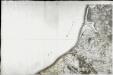
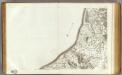
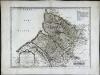
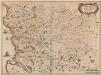
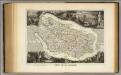
Maps of Saint-Quentin-la-Motte-Croix-au-Bailly
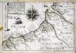
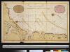
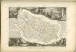
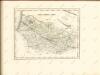
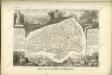
Maps of Saint-Quentin-la-Motte-Croix-au-Bailly