Maps of United States

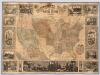
United States of America.
1 : 14606381 Clemens, Rev E.J.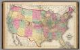
Map of the United States and territories.
1 : 7500000 Lloyd, H.H.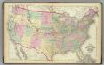
United States.
1 : 7500000 Gray, Ormando Willis; Walling, H. F.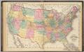
Map of the United States and territories.
1 : 7500000 Walling, H. F.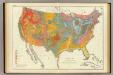
Geological map US.
1 : 7200000 United States. Census Office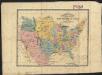
The United States : the relative position of the Oregon & Texas and California
1 : 19000000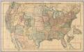
United States and Canada.
1 : 3453120 Stanford, Edward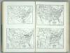
United States and Contiguous Territories: Federal Reserve Districts, Commercial Airways, Highways, and Railroads.
1 : 17398000 Hammond, C.S.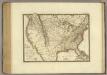
Etats-Unis, Canada.
1 : 9600000 Brue, Adrien Hubert, 1786-1832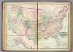
U.S. & territories.
1 : 8110080 Asher, Adams & Higgins; Higgins & Ryan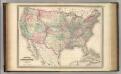
United States.
1 : 8800000 Johnson, A.J.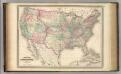
United States.
1 : 8800000 Johnson, A.J.
Verso: American Airlines system map.
American Airlines, inc.
American Airlines system map.
1 : 6336000 American Airlines, inc.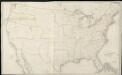
Map of the United States exhibiting the several collection districts
1 : 4000000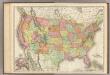
United States.
1 : 7286000 Rand McNally and Company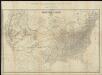
Map of the United States of America = Specialkarte der Vereinigten Staaten von Nord-America
1 : 5000000
Zoological Divisions of the United States.
1 : 12400000 Cope, Edward D.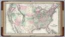
United States of America.
1 : 6336000 Colton, G.W.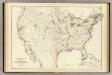
Barometer, air movement US.
1 : 7200000 United States. Census Office
Botanical Divisions of the United States.
1 : 12400000 Porter, Thomas C.
Composite: United States of North America.
1 : 3984000 Johnston, W. & A.K.
Hypsometric sketch US.
1 : 10400000 United States. Census Office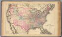
United States.
1 : 9500000 Beers, F. W. (Frederick W.)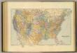
United States.
1 : 7603200 Stanford, Edward
United States.
1 : 9900000 Rand McNally and Company
Distribution of the great soil groups (soil provinces)
1 : 8000000 Relief shown by spot heights. Appears in Washington: U.S. Dept. of Agriculture. Atlas of American agriculture, 1936. Soils, plate 2. Marbut, Curtis Fletcher, 1863-1935. Washington, D.C. : Bureau of Chemistry and Soils
United States.
1 : 10560000 Rand McNally and Company
Composite: Black and White Mileage Map of the United States.
1 : 5132000 Rand McNally and Company