Maps of Malay Archipelago
East India Isles.
1 : 8800000 Thomson, John
East India Isles.
1 : 8700000 Cary, John, ca. 1754-1835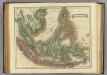
E. India Islands.
1 : 9000000 Lizars, Daniel
East India Islands.
1 : 34000000 Fenner, Rest.
Niederländisch-Indien
1 : 13000000 Druck und Verlag von Carl Flemming. Glogau : Carl Flemming
East India Isles.
1 : 11404800 Burr, David H., 1803-1875
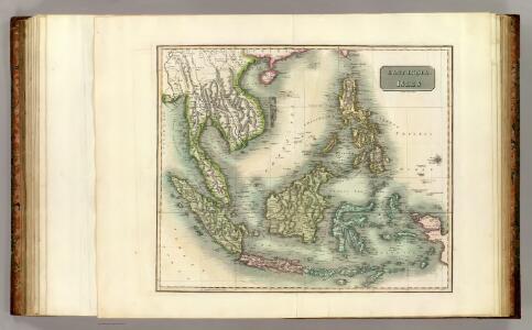
East India Islands.
1 : 21500000 Arrowsmith, Aaron
East India Islands.
1 : 21500000 Arrowsmith, Aaron
Niederländisch-Indien / Druck und Verlag von Carl Flemming
Glogau : Carl Flemming
Ostindische Inseln
1 : 12500000 Filipíny Berghaus, Herm. Eberhardt, H. Justus Perthes
East India Isles.
1 : 15200000 Greenleaf, Jeremiah
East India Isles.
1 : 15200000 Greenleaf, Jeremiah
Ostindische Inseln
Adolf Stieler's Handatlas über alle Theile der Erde und über das Weltgebäude Stieler, Adolf Justus Perthes
Kaart van den Oost-Indischen Archipel
[Java und Madoera, geologische Detailkarten und Profile] Verbeek, R. D. M. Joh. C. Stemler Cz.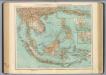
95-96. Indocina, Siam, Arcipelago Malese.
1 : 10000000 Touring club italiano
East Indies.
1 : 12672000 Colton, G.W.
Die Ostindischen Inseln
[S.l. : s.n.]
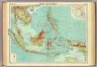
Malay Archipelago.
1 : 10000000 John Bartholomew and Son
Die Ostindischen Inseln
Hand-Atlas über alle Theile der Erde und über das Weltgebäude Stieler, Adolf Justus Perthes
East India Islands.
1 : 16500000 Darton, William
A new map of the East India Isles from the latest authorities
1 : 9000000 Cary, John, ca. 1754-1835 J. Cary
Asiatic Archipelago.
1 : 10771200 Letts, Son & Co.
Hinterindien nebst den Hinterindischen Inseln
1 : 10000000 entworfen und gezeichnet im Jahre 1826 von C. F. Weiland, nach Crawfurd, Kolf und Krusenstern umgearb. und berichtigt 1832, und im Jahre 1838, abermals nach Raffles und Berghaus' Atlas von Asien theilweis umgearb. und berichtigt Weimar : Verlag des Geograph. Instituts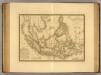
Grand Archipel d'Asie.
1 : 10200000 Picquet, C.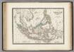
Malaisie.
1 : 1200000 Levasseur, E.
Die Ostindischen Inseln
Handatlas über alle Theile der Erde und über das Weltgebäude Stieler, Adolf Justus Perthes
Islands: China-New Holland.
1 : 23000000 Bowen, Frances
East India Islands.
1 : 10000000 Hall, S. (Sidney)