Maps of United States
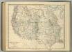
Western United States.
1 : 6047811 Johnston, Alexander Keith
National Map Of The Territory Of The United States.
1 : 3801600 Keeler, William J.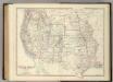
Western United States.
1 : 6047811 Johnston, Alexander Keith
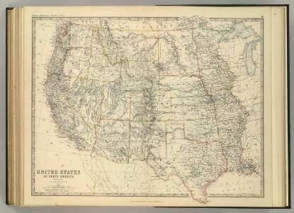
Map Of The United States.
1 : 6000000 Emory, William H.
Map Of The Territory Of The United States From The Mississippi To The Pacific Ocean.
1 : 3000000 Warren, Gouverneur Kemble, 1830-1882
Map Of The Territory Of The United States From The Mississippi To The Pacific Ocean.
1 : 3000000 Warren, Gouverneur Kemble, 1830-1882
Map Of The Territory Of The United States From The Mississippi River To The Pacific Ocean.
1 : 3041280 Warren, Gouverneur Kemble, 1830-1882
Map Of The Territory Of The United States From The Mississippi To The Pacific.
1 : 3000000 Warren, Gouverneur Kemble, 1830-1882
Composite: U.S. West of Mississippi R.
1 : 2000000 Freyhold, Edward; Warren, Gouverneur Kemble, 1830-1882; United States. Army. Corps of Engineers
Reduced section, general map, North America, 1795.
1 : 18000000 Winterbotham, W.
Die Atlantischen Staaten zwischen Washington & Boston, Blatt 1]
Adolf Stieler's Handatlas über alle Theile der Erde und über das Weltgebäude Stieler, Adolf Justus Perthes
West-Indien, Central-Amerika bis zum südlichen Canada in 4 Blättern
1 : 7500000 Nordwest-Blatt Petermann, August Heinrich ; Habenicht, H. Justus Perthes
Reduced section, map of North America, 1826.
1 : 18000000 Warren, Gouverneur Kemble, 1830-1882
Reduced section, territory west of Rocky Mountains, 1837.
1 : 18000000 Warren, Gouverneur Kemble, 1830-1882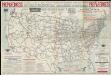
National highways map of the United States showing principal transcontinental highways and connecting system of one hundred thousand miles of national highways proposed by the National Highways Association
1 : 3800000 Mulford, John C. National Highways Association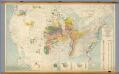
United States -- Pleistocene Eolian Deposits
1 : 2500000 The Geological Society of America
U.S. Western.
1 : 8870400 Letts, Son & Co.
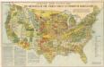
H.H. Lloyd & Co's Campaign Military Charts Showing The Principal Strategic Places Of Interest.
Viele, Egbert L.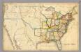
United States.
1 : 6500000 Anonymous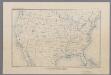
United States
1 : 16500000 [Washington, D.C. : U.S. Geological Survey]
North America, 1710.
1 : 13500000 Senex, John
Gray's Botanical and Zoological Maps of the United States.
1 : 18000000 Gray, Ormando Willis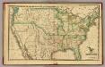
United States.
1 : 11300000 Morse, Sidney E. (Sidney Edwards), 1794-1871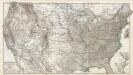
Composite: Vereinigten Staaten von Nord-Amerika in 6 Blattern.
1 : 3700000 Petermann, A.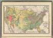
United States population increase 1880-1890.
1 : 10100000 Rand McNally and Company
United States population density 1890.
1 : 10100000 Rand McNally and Company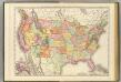
United States.
1 : 7300000 Rand McNally and Company
[United States ca. 1850] / E. Gilman, draftsman.
from Whole E. Gilman,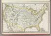
United States.
1 : 9900000 Rand McNally and Company