Maps of Prince of Wales-Hyder

Facsimile: British Columbia and Northwest Territory (portion).
1 : 2850000 Dawson Brothers
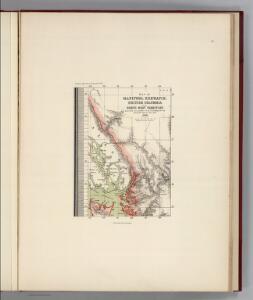
Facsimile: British Columbia and Vancouver Island (portion).
1 : 2400000 Arrowsmith, John
Facsimile: Russian Chart.
1 : 880000 Alaskan Boundary Tribunal
Facsimile: Cordova Bay to Cross Sound. Part of British Admiralty Chart. No. 2431.
1 : 530000 British Admiralty
Sheet No. 1. (Dixon Entrance, Chatham Sound).
1 : 160000 Alaskan Boundary Tribunal
Facsimile: Russian Map of Southern Half of the Koloshenski Archipelago.
1 : 510000 Hydrographic Department, Ministry of Marine
Prince Rupert
1 : 250000
Prince Rupert
1 : 250000
Prince Rupert
1 : 250000
Prince Rupert
1 : 250000
Prince Rupert
1 : 250000
Prince Rupert
1 : 250000
Ketchikan
1 : 250000
Ketchikan
1 : 250000
Ketchikan
1 : 250000
Ketchikan
1 : 250000
Ketchikan
1 : 250000
Ketchikan
1 : 250000
Ketchikan
1 : 250000
Bradfield Canal
1 : 250000
Bradfield Canal
1 : 250000
Bradfield Canal
1 : 250000
Bradfield Canal
1 : 250000
Bradfield Canal
1 : 250000
Bradfield Canal
1 : 250000
Sheet No. 4. (Portland Canal, Behm Canal).
1 : 160000 Alaskan Boundary Tribunal
Sheet No. 8. (Stikine (Stickeen) River, Bradfield Canal).
1 : 160000 Alaskan Boundary Tribunal
Sheet No. 7. (Unuk River).
1 : 160000 Alaskan Boundary Tribunal
Sheet No. 6. (Clarence Strait, Kasaan Bay, Wales Island, Tlevak Strait).
1 : 160000 Alaskan Boundary Tribunal