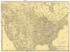
Maps of United States

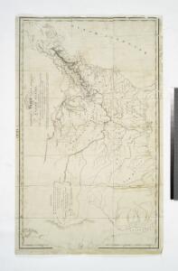
A Map of the frontier of British North America and the United States: describing the boundary line as fixed by the Treaty of 1783 which has never been respected by the American government ...
from Whole Printed for J.M. Richardson, Cornhill, by T. Davison, Whitefriars: [London],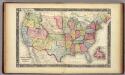
Map Of The United States, And Territories.
1 : 10137600 Mitchell, Samuel Augustus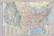
Shell Highway Map of United States.
1 : 7476480 Shell Oil Company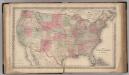
United States of America.
1 : 8000000 Colton, G.W.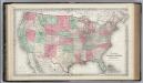
United States of America.
1 : 8000000 Colton, G.W.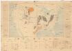
Coal fields of the United States
1 : 7000000 Spojené státy americké Campbell, R. Marius U.S. Geological Survey
Vereinigte Staaten von Amerika
1 : 6000000 Filipíny Carl Flemming
Karte der Vereinigten Staaten von Nordamerika
1 : 3000000 Aljaška Handtke, Friedrich Carl Flemming
Mitchell's reference & distance map of the United States
1 : 6340000 Spojené státy americké Young, J. H. Dankvort, F. S. Augustus Mitchell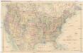
Stanford's General Map of the United States
1 : 5274720 Spojené státy americké Stanford, Edward Edward Stanford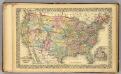
U.S., Canada.
1 : 10000000 Williams, W. (Wellington)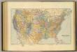
United States.
1 : 7603200 Stanford, Edward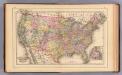
United States.
1 : 10000000 Mitchell, Samuel Augustus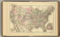
United States.
1 : 10000000 Mitchell, Samuel Augustus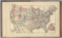
United States.
1 : 10000000 Mitchell, Samuel Augustus Jr.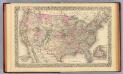
United States.
1 : 10000000 Williams, W. (Wellington)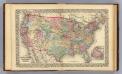
United States.
1 : 10000000 Williams, W. (Wellington)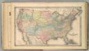
The United States of America.
1 : 8000000 Colton, G.W.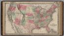
United States of America.
1 : 6336000 Colton, G.W.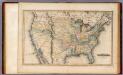
United States.
1 : 11088000 Lucas, Fielding Jr.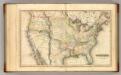
United States.
1 : 11100000 Lucas, Fielding Jr.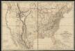
Fredonia or the United States of North-America : including also Cabotia, or the Canadian provinces; the Western Territory to the Pacific Ocean; and the northern part of the Mexican States
1 : 5700000
Nord-Americanische Freistaaten.
1 : 12800000 Radefeld, Carl Christian Franz, 1788-1874
Acquisition of territory US.
1 : 10300000 United States. Census Office
United States.
from Whole D.F. Robinson & Co.: [Hartford, Conn.];,
Geognos. Karte, Nord-Amer. Freistaate.
1 : 12800000 Radefeld, Carl Christian Franz, 1788-1874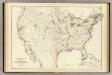
Barometer, air movement US.
1 : 7200000 United States. Census Office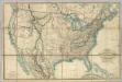
Fredonia Or The United States of North America.
1 : 570000 Laurie, Richard Holmes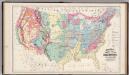
Geological Formations of the United States.
1 : 7520000 Gray, Ormando Willis