Maps of United States

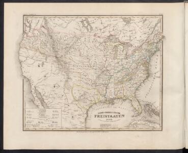
Nord-Americanische Freistaaten
Grosser Hand-Atlas über alle Theile der Erde in 170 Karten Meyer, J. Verlag des Bibliographischen Instituts
Nord Americanische Freistaaten
Schul-Atlas in 36 Karten Völter, Daniel Verlag der J.M. Dannheimer'schen Buchhandlung
Vereinigte Staaten von Nord-America
Stieler's Hand-Atlas Stieler, Adolf bei Justus Perthes
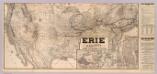
United States Of North America.
1 : 6336000 Stanford, Edward
Military map of the United States
1 : 5000000 Freyhold, Edward United States. War Dept.
Etats-Unis.
1 : 11700000 Migeon, J.
Geognostische Karte der Nord-Americanischen Freistaaten
Grosser Hand-Atlas über alle Theile der Erde in 170 Karten Meyer, J. Verlag des Bibliographischen Instituts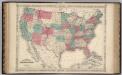
United States.
1 : 8652000 Johnson, A.J.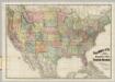
Railroad Map Of The United States.
1 : 3801600 Rand McNally and Company
[Map of Spanish Louisiana and the American colonies]
from Whole
Vereinigte Staaten von Nord-America
Hand-Atlas über alle Theile der Erde nach dem neuesten Zustande und über das Weltgebäude Stieler, Adolf bei Justus Perthes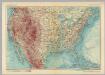
United States of America. Pergamon World Atlas.
1 : 10000000 Polish Army Topography Service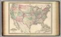
United States.
1 : 8800000 Johnson, A.J.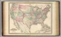
United States.
1 : 8800000 Johnson, A.J.
Etats Unis.
1 : 10000000 Vivien St Martin, L.
Map of the United States of America with its territories & districts : including also a part of upper & lower Canada and Mexico.
from Whole
Map of the United States of North America: with parts of the adjacent countries / by David H. Burr (late topographer to the Post Office), geographer to the House of Representatives of the U.S.
from Whole David H. Burr,
Composite: United States of North America.
1 : 3984000 Johnston, W. & A.K.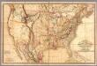
Fredonia Or The United States of North America.
1 : 570000 Laurie, Richard Holmes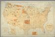
Map showing the location of the Indian reservations within the limits of the United States and territories / compiled from official and other authentic sources, under the direction of the Hon. John D.C. Atkins, Commissioner of Indian Affairs ; Paul Brodi
from Whole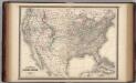
United States.
1 : 8800000 Johnson, A.J.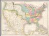
Map of the United States Of North America.
1 : 4118400 Burr, David H., 1803-1875
Hypsometric sketch US.
1 : 10400000 United States. Census Office
United States / Geo. Boynton, sc., Boston.
from Whole
American Continent: United States, British Possessons, West Indies, Mexico, Central America
1 : 4435200 Rosa, R.
Map of the United States and Mexico: including Oregon, Texas and the Californias.
from Parts s.n.: [New York?],
Verso: American Airlines system map.
American Airlines, inc.
American Airlines system map.
1 : 6336000 American Airlines, inc.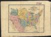
The United States : the relative position of the Oregon & Texas and California
1 : 19000000