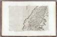
Maps of Beni Suef Governorate

Land zwischen den kleinen und grossen Kataracten des Nil
1 : 288000 Egypt Prokesch, A. von Wöber, J.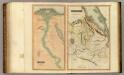
Egypt, Abyssinia.
Thomson, John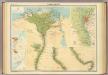
Lower Egypt.
1 : 1000000 John Bartholomew & Co.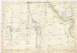
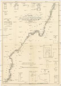
Kharga and Dakhla oases and their approaches
1 : 500000 War Office
Mudiria Assiut
1 : 10000 Egypt Survey department Egypt
Die Wüstenregion zwischen Nil und Uadi Kenet
1 : 200000 Egypt Schweinfurth, Georg Geographische Verlagshandlung Dietrich Reimer
Die Wüstenregion zwischen Nil und Uadi Kenet
1 : 200000 Egypt Schweinfurth, Georg Geographische Verlagshandlung Dietrich Reimer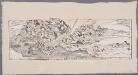
[LL.05413gk], uit: [Palestina] / [Lukas Cranach d. Ä.]
1 : 850000 Annotatie: Onderste deel van de kaart; Van deze kaart is slechts 1 ander (eveneens incompleet) exemplaar bekend (Eran Laor Map Collection, Jeruzalem), waarbij juist het onderste deel van de kaart ontbreekt; Lit.: Cartographica Helvetica, 1991, H. 3, p. 22-27; Print quarterly, vol. 12, no. 2 (1995), p. 123-144 Cranach, Lukas (de Oudere) [Wittenberg : Lukas Cranach d. Ä.]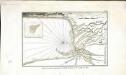
Plan de la partie septentrionale du golfe arabique et de la ville de Suès
1 Karte : Kupferdruck ; 18 x 29 cm Nyon
Die südliche Galala mit dem nördlichen Theil der krystallinische Küstengebirge am Rothen Meer
1 : 200000 Schweinfurth, Georg Dietrich Reimer
Karte der Gegend zwischen Belbes und Sues
1 : 200000 Egypt Schweinfurth, Georg Geographische Verlagshandlung Dietrich Reimer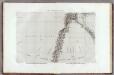
1 Cataractes, Syene.
1 : 100000 Jacotin, Pierre, 1765-1827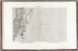
18 Benisouif.
1 : 100000 Jacotin, Pierre, 1765-1827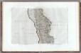
14 Miniet, Antinoe.
1 : 100000 Jacotin, Pierre, 1765-1827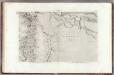
21 Memphis.
1 : 100000 Jacotin, Pierre, 1765-1827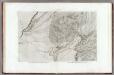
19 Faioum.
1 : 100000 Jacotin, Pierre, 1765-1827
20 Pyramides.
1 : 100000 Jacotin, Pierre, 1765-1827
11 Tahtah.
1 : 100000 Jacotin, Pierre, 1765-1827
10 Girgeh.
1 : 100000 Jacotin, Pierre, 1765-1827
13 Manfalout.
1 : 100000 Jacotin, Pierre, 1765-1827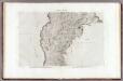
15 Abou Girgeh.
1 : 100000 Jacotin, Pierre, 1765-1827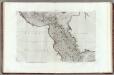
12 Siout.
1 : 100000 Jacotin, Pierre, 1765-1827
2 Koum Ommbous.
1 : 100000 Jacotin, Pierre, 1765-1827
3 Edfou.
1 : 100000 Jacotin, Pierre, 1765-1827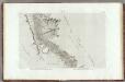
4 Esne.
1 : 100000 Jacotin, Pierre, 1765-1827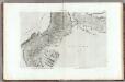
5 Thebes.
1 : 100000 Jacotin, Pierre, 1765-1827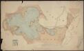
[lac égyptiens]
1 : 100000 Harrison and Sons Londres : Harrison and Sons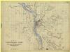
Cairo [Maps of County around ]
Map of country around Cairo, IDWO 1434. Great Britain. War Office. Intelligence Division. [London] : [War Office, Intelligence Division].
17 Gebel Gebei.
1 : 100000 Jacotin, Pierre, 1765-1827