Maps of Mediterranean Sea
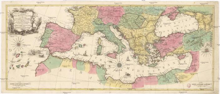
Carte geographique representant la Mer Mediterranée ou la seconde partie du théatre de la guerre entre les Russes et les Turcs
1 : 1000000 Evropa jižní Lotter, Tobias Conrad Tobie Conrad Lotter
Carte géographique representant la Mer Méditerranée ou la seconde partie du Théatre de la guerre entre les russes et les turcs : c'est a dire les roiaumes, les étâts, les provinces et les diverses isles situées dans la dite Mer, avec la Mer Noire ou Pont Euxine et une partie de la province Georgie en Asia
1 : 4400000 par Tobie Conrad Lotter Augsbourg : Lotter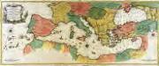
Carte geographique representant la mer Mediterranée ou la seconde partie du théatre de la guerre entre les Russes et les Turcs
1 Karte auf 3 Blättern : Kupferdruck ; 53 x 130 cm Lotter Tobias Konrad Lotter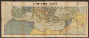
Metzer karten der Mittelmeer Raum
1 : 5950000 Metzer Verlagsanstalt Metz : Metzer Verlagsanstalt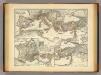
Mare internum cum populis adiacentibus a Pompeii ex Asia reditu usque ad bellum Actiacum.
1 : 12000000 Menke, Th.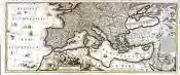
Mare Mediterraneum
1 Karte auf 2 Blättern : Kupferdruck ; 42 x 103 cm by Iohannes Cóvens en Cornelis Mortier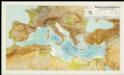
Mapa de la Conca Mediterrània: principals infrastructures de transport : regions europees riberenques de la Mediterrània
1 : 3500000 1 Mapa. Institut Cartogràfic de Catalunya ICC
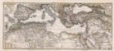
Das Mittellandische Meer Und Nord-Afrika.
1 : 7500000 Petermann, A.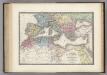
Nord de l'Afrique, Mediterranee.
1 : 9200000 Levasseur, E.
L'Europe au Temps des Croisades.
Andriveau-Goujon, J.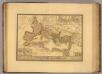
Empire Romain sous Theodose.
1 : 11300000 Picquet, C.
Composite: Imperii Romani.
1 : 9850000 Vivien de St Martin, L.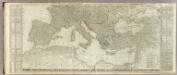
(Europe divided into its empires, kingdoms, states, republics, &c. Southern States)
1 : 4800000 Kitchin, Thomas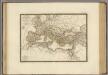
Empire Romain sous Constantin.
1 : 11300000 Brue, Adrien Hubert, 1786-1832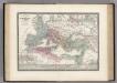
L'Empire Roman sous Theodose.
1 : 12000000 Levasseur, E.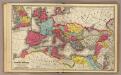
Roman Empire.
1 : 13600000 Mitchell, Samuel Augustus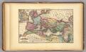
Roman Empire.
1 : 9000000 Young, James H.
Empire Romain.
Andriveau-Goujon, J.
Mediterranean, Black Sea cables, wireless stations.
1 : 13000000 Philip, George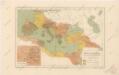
Říše římská ve své největší rozsáhlosti
Composite: Mittellandische Meer, Nord-Afrika.
1 : 7500000 Petermann, A.
TABLEAU DE L'EMPIRE ROMIN
Afrika severní Las Cases, Emmanuel-Auguste-Dieudonné Didot, Pierre Jules Didot Ainé
Carte des pays qu'occupe maintenant la mer Mediterranée
1 Karte : Kupferdruck ; 32 x 66 cm La Borde s.n.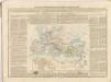

Europa 1668
Europa Kunz, Andreas ; Moeschl, Joachim Robert
Europa 1881
Europa Kunz, Andreas ; Röss, Wolf ; Moeschl, Joachim Robert
Europa 31.12.1806
Europa Kunz, Andreas ; Moeschl, Joachim Robert
Gemaelde des Roemischen Reichs in seiner grösten Ausdehnung
Historisch-genealogisch-geographischer Atlas von Le Sage Las Cases, Emmanuel Auguste Dieudonné Marius Joseph de Johann Velten, Kunsthändler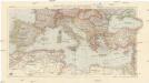
Karte der Länder des Mittelmeeres
1 : 5000000 Středozemní moře-oblast Freytag & Berndt